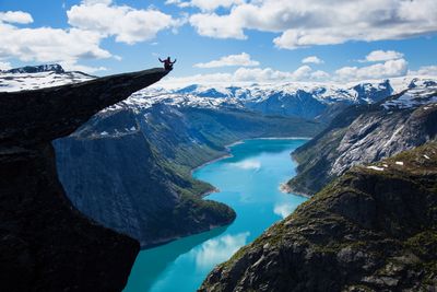
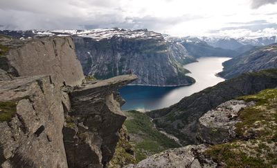
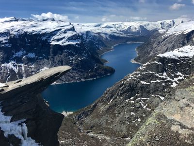
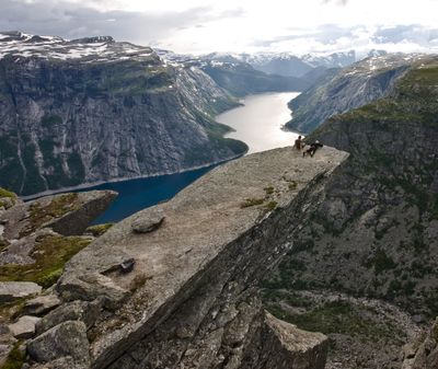
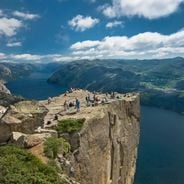
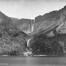
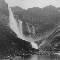
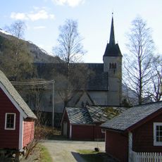
Trolltunga, Rock formation in Ullensvang Municipality, Norway.
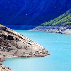
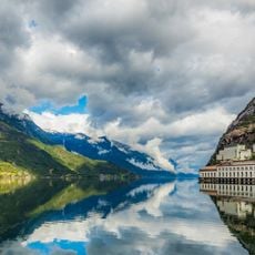
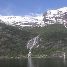
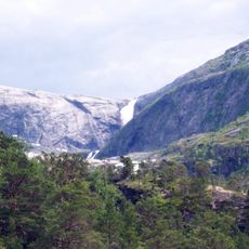
Trolltunga is a rock shelf that juts out from the mountainside, suspended 2,300 feet (700 meters) above Ringedalsvatnet in the Hardangervidda region. The platform sits at an elevation of 3,640 feet (1,110 meters) and ends in a flat tongue of granite that opens toward the valley below.
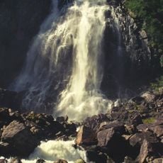
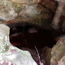
Glaciers carved this rock platform during the last Ice Age, scraping away layers of stone and leaving the tongue exposed. The area remained little known until the mid-20th century, when hikers began to discover the formation.
The name Trolltunga translates to Troll's Tongue in Norwegian, reflecting local folklore and the distinctive shape of the protruding rock formation.
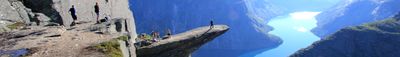
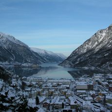
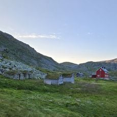
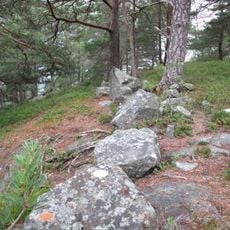
The 27-kilometer round-trip hike starts at the Skjeggedal parking area and usually takes between ten and twelve hours. Sturdy footwear and clothing for rapid weather changes are important, as conditions in the high mountains can shift without warning.
Fewer than 800 hikers reached this spot each year until 2010, but by 2016 the number had grown past 80,000 visitors. This shift has widened the access trail and brought ropes and markers to the more difficult sections.
Location: Ullensvang Municipality
Elevation above the sea: 1,110 m
Website: https://trolltunga.com
GPS coordinates: 60.12417,6.74000
Latest update: December 12, 2025 17:42
This collection gathers sites where architecture and nature combine to offer extraordinary experiences. From urban observation platforms to natural geological formations, these destinations allow observing the world from remarkable viewpoints. Each location presents a different approach to altitude,...
From the highest peaks to coastal cliffs, this collection brings together geographically significant observation points across all continents. The locations offer views of mountain ranges, waterfalls, deserts, oceans, and notable architectural structures. The selection includes the Great Wall near...
Låtefossen
21.5 km
Odda Smelteverk
12.4 km
Ringedalsvatnet
2.3 km
Sørfjorden
15.1 km
Hårteigen
19.8 km
Tyssedal Hydroelectric Power Station
10.2 km
Agatunet
21 km
Norwegian Museum of Hydropower and Industry
10.2 km
Buarbreen
19.8 km
Bondhusbreen
24.8 km
Tyssestrengene
1.6 km
Skrikjofossen
20.3 km
Ringedalsfossen
2.5 km
Nordre Folgefonna
18.1 km
Espelandsfossen
21.7 km
Skjeggedal pumping Station
5.8 km
Ædnafossen
11.4 km
Stavali
23.2 km
Søtefossen
23.3 km
Nyastølfossen
25.1 km
Nykkjesøyfossen
24.5 km
Tjørnadalsfossen
14.7 km
Ullensvang manse
22.3 km
Sandvin - Fetts fk. 1/2
16.3 km
Reinsnos - Fetts fk. 1, Foss
15.4 km
Berge - Fetts fk. 1, Åsthelleberget
20.7 km
Kvitno - Fetts fk. 2
12.1 km
Sandvin - Fetts fk. 4, Sandvinshaugen
16.2 kmVisited this place? Tap the stars to rate it and share your experience / photos with the community! Try now! You can cancel it anytime.
Discover hidden gems everywhere you go!
From secret cafés to breathtaking viewpoints, skip the crowded tourist spots and find places that match your style. Our app makes it easy with voice search, smart filtering, route optimization, and insider tips from travelers worldwide. Download now for the complete mobile experience.
A unique approach to discovering new places❞
— Le Figaro
All the places worth exploring❞
— France Info
A tailor-made excursion in just a few clicks❞
— 20 Minutes