
Stavnes, protected area in Norway (Naturbase code: VV00001030)
Location: Kragerø
Inception: July 9, 1993
GPS coordinates: 58.92640,9.49230
Latest update: April 30, 2025 04:04
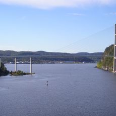
Grenland Bridge
17.6 km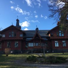
Croftholmen
18 km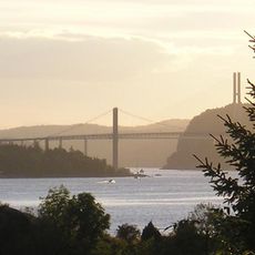
Brevik Bridge
18 km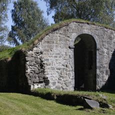
St. Olav's Church
13.4 km
Wrightegaarden
16.9 km
Jomfruland national park
9.1 km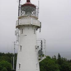
Jomfruland Lighthouse
9.1 km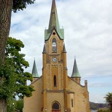
Kragerø Church
7.6 km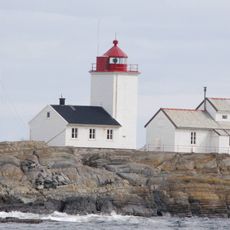
Langøytangen Lighthouse
16.8 km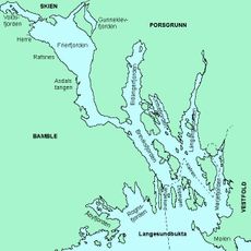
Åbyfjorden
12.8 km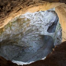
Rutilgruva
9.7 km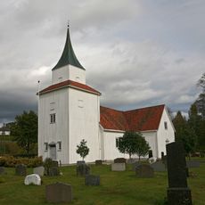
Sannidal Church
13.5 km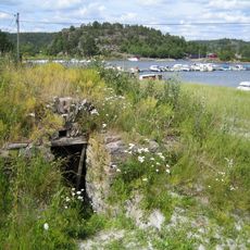
Sekkekilen
6.2 km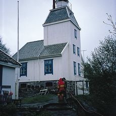
Stavseng Lighthouse
8.7 km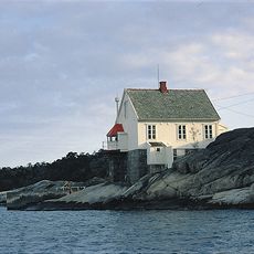
Strømtangen fyr
10.1 km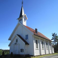
Støle Church
13.6 km
Rognsfjorden
15.2 km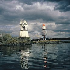
Figgjeskjær tågeklokke
17.5 km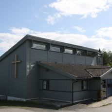
Helle Church
7.7 km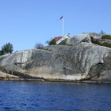
Bråtane
7.1 km
Brattøykollen
12.3 km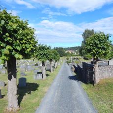
Kragerø kirkegård
8.7 km
Langøya
17.5 km
Stokkeåsen
15.4 km
Dammane
18.2 km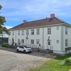
Skibsfører H. J. Stouslands skipperhus
16.6 km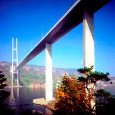
Grenlandbrücke
17.6 km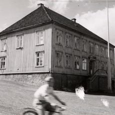
LANGESUND GAMLE RÅDHUS (CUDRIOGÅRDEN)
16.9 kmReviews
Visited this place? Tap the stars to rate it and share your experience / photos with the community! Try now! You can cancel it anytime.
Discover hidden gems everywhere you go!
From secret cafés to breathtaking viewpoints, skip the crowded tourist spots and find places that match your style. Our app makes it easy with voice search, smart filtering, route optimization, and insider tips from travelers worldwide. Download now for the complete mobile experience.

A unique approach to discovering new places❞
— Le Figaro
All the places worth exploring❞
— France Info
A tailor-made excursion in just a few clicks❞
— 20 Minutes