Njearanat, rapids in Karasjok, Finnmark, Norway
Location: Karasjok Municipality
GPS coordinates: 69.37931,24.64414
Latest update: November 2, 2025 11:07
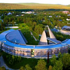
Sámi Parliament of Norway
34.9 km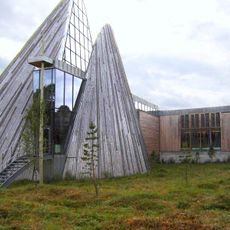
Sametingsbygningen
34.9 km
Stabbursdalen National Park
67.5 km
Suttesgáldu
57.9 km
Muotkatunturi Wilderness Area
67.5 km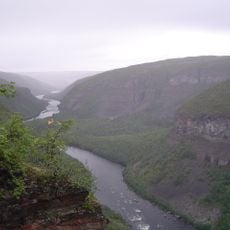
Sautso
56.5 km
Anárjohka National Park
61.2 km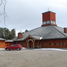
Karasjok Church
35.3 km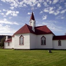
Old Karasjok Church
35 km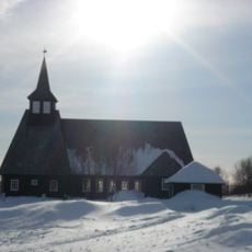
Masi Church
39 km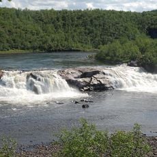
Pikefossen
42.8 km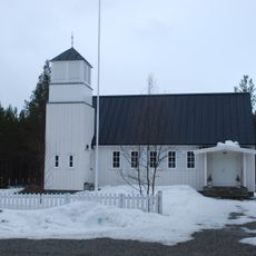
Skoganvarre Chapel
53.9 km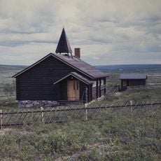
Šuoššjávri Chapel
15.2 km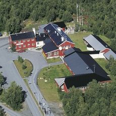
Lakselv Hotell
74.3 km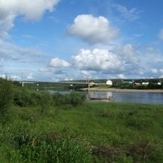
Karasjok bru
35.2 km
Kautokeino Cultural Centre
74.5 km
Kongeneset
48.3 km
Scenic viewpoint
48.6 km
Installation artwork, Work of art
35.5 km
Luomusjärvi näköalapaikka
62.5 km
Scenic viewpoint
57.9 km
Installation artwork, Work of art
35.6 km
Scenic viewpoint
48.4 km
Scenic viewpoint
39.9 km
Alta Canyon
56.8 km
Scenic viewpoint
42.9 km
Alta Canyon
52.1 km
Memorial
73.6 kmReviews
Visited this place? Tap the stars to rate it and share your experience / photos with the community! Try now! You can cancel it anytime.
Discover hidden gems everywhere you go!
From secret cafés to breathtaking viewpoints, skip the crowded tourist spots and find places that match your style. Our app makes it easy with voice search, smart filtering, route optimization, and insider tips from travelers worldwide. Download now for the complete mobile experience.

A unique approach to discovering new places❞
— Le Figaro
All the places worth exploring❞
— France Info
A tailor-made excursion in just a few clicks❞
— 20 Minutes