Reppesleiret, protected area in Norway
Location: Stjørdal Municipality
GPS coordinates: 63.45050,10.94600
Latest update: November 2, 2025 14:10
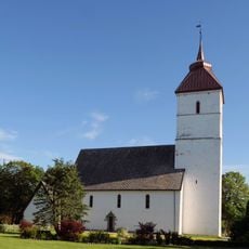
Værnes Church
602 m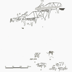
Hell rock carvings
2.1 km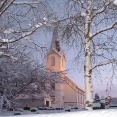
Lånke Church
865 m
Stjørdal Church
2.3 km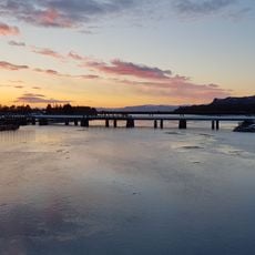
Hell jernbanebru
2 km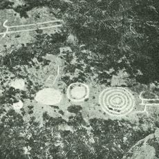
Ydstines
3.3 km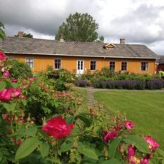
Stjørdal museum Værnes
685 m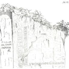
Skrivarberget
3.3 km
Kimen kulturhus
2.3 km
Værnes prestegård
715 m
Stokkan nordre
3.5 km
Reppe
734 m
Husbyåsen
3.1 km
Re I - III
2.7 km
Stokkan III
4 km
Berri I
3.2 km
Slundgård I
3.7 km
Lånke II
1.2 km
Lånke III
1.2 km
Lånke V
1.2 km
Værnes I
610 m
Lånke I
1.2 km
Gjeving I
2.4 km
Geving nordre
2.4 km
Lånke IV
1.2 km
Scenic viewpoint
3 km
Snauskallen
3.3 km
Scenic viewpoint
2 kmReviews
Visited this place? Tap the stars to rate it and share your experience / photos with the community! Try now! You can cancel it anytime.
Discover hidden gems everywhere you go!
From secret cafés to breathtaking viewpoints, skip the crowded tourist spots and find places that match your style. Our app makes it easy with voice search, smart filtering, route optimization, and insider tips from travelers worldwide. Download now for the complete mobile experience.

A unique approach to discovering new places❞
— Le Figaro
All the places worth exploring❞
— France Info
A tailor-made excursion in just a few clicks❞
— 20 Minutes