Råbesdalen, protected area in Norway
Location: Høylandet Municipality
GPS coordinates: 64.65500,12.42500
Latest update: November 2, 2025 17:53

Namsskogan Familiepark
22.4 km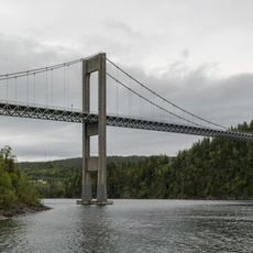
Folda Bridge
35.2 km
Smines Bridge
42.1 km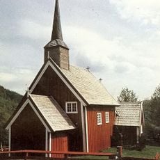
Gløshaug Church
13.4 km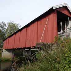
Hammer bridge
7.6 km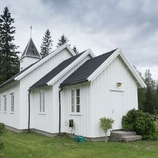
Kongsmo Chapel
25.3 km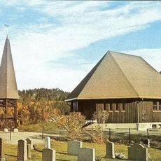
Drageid Chapel
15.8 km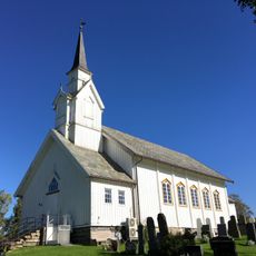
Høylandet Church
5.5 km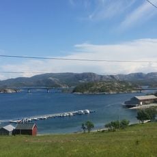
Hestøy Bridge
42 km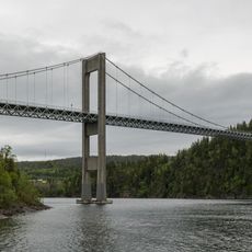
Innerfolda
38 km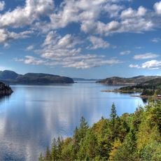
Oppløyfjorden
33.1 km
Work of art, statue
22.7 km
Scenic viewpoint
32.1 km
Skrøyvstadfossen
21.3 km
Fiskumfoss
12.5 km
Statue, Work of art
23.2 km
Storhusfjellet
21.3 km
Tuva
22.2 km
Scenic viewpoint
11.7 km
Skrøyvstadfossen
21.4 km
Sanddøla bru
23.1 km
Scenic viewpoint
35.3 km
Scenic viewpoint
36 km
Scenic viewpoint
27.6 km
Scenic viewpoint
23.3 km
Scenic viewpoint
23.1 km
Scenic viewpoint
15.8 km
Scenic viewpoint
15.7 kmReviews
Visited this place? Tap the stars to rate it and share your experience / photos with the community! Try now! You can cancel it anytime.
Discover hidden gems everywhere you go!
From secret cafés to breathtaking viewpoints, skip the crowded tourist spots and find places that match your style. Our app makes it easy with voice search, smart filtering, route optimization, and insider tips from travelers worldwide. Download now for the complete mobile experience.

A unique approach to discovering new places❞
— Le Figaro
All the places worth exploring❞
— France Info
A tailor-made excursion in just a few clicks❞
— 20 Minutes