Ræstadtangen, protected area in Norway
Location: Molde Municipality
Inception: November 8, 2002
GPS coordinates: 62.73880,6.84000
Latest update: November 2, 2025 11:07

Kongebjørka
14.7 km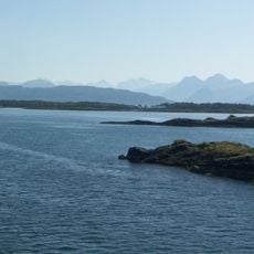
Moldefjord
14 km
Tomrefjorden
13.2 km
Bjørnsonhuset
15.5 km
Midsund Bridge
11.5 km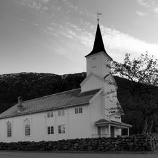
Otrøy Church
8.1 km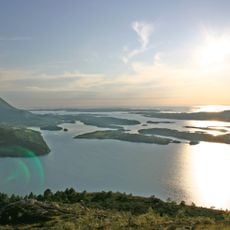
Frænfjorden
13.1 km
Flatflesa Lighthouse
13.5 km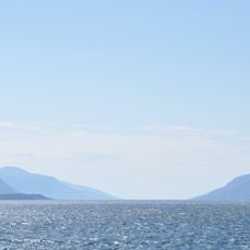
Midfjorden
12.3 km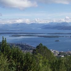
Storfjorden
11 km
Fredslunden
14.7 km
Aukra prestegard
6.9 km
Veideristning i Molde (23/19)
14.5 km
Aukra Prestegard
6.4 km
Reiten I (Reitaneset)
5.5 km
Flak Pilhau
11.7 km
Primavera
14.7 km
Scenic viewpoint
7.6 km
Jermannsburet
10 km
Gammelsetra
8.8 km
Utsikten
11.8 km
Brattlihaugen
15.2 km
Scenic viewpoint
14.8 km
Scenic viewpoint
14.9 km
Scenic viewpoint
9 km
Scenic viewpoint
4.6 km
Scenic viewpoint
10.4 km
Scenic viewpoint
10.4 kmReviews
Visited this place? Tap the stars to rate it and share your experience / photos with the community! Try now! You can cancel it anytime.
Discover hidden gems everywhere you go!
From secret cafés to breathtaking viewpoints, skip the crowded tourist spots and find places that match your style. Our app makes it easy with voice search, smart filtering, route optimization, and insider tips from travelers worldwide. Download now for the complete mobile experience.

A unique approach to discovering new places❞
— Le Figaro
All the places worth exploring❞
— France Info
A tailor-made excursion in just a few clicks❞
— 20 Minutes