Todalsøran, protected area in Norway
Location: Surnadal Municipality
GPS coordinates: 62.82000,8.69500
Latest update: November 2, 2025 17:44
Dronningkrona
14.1 km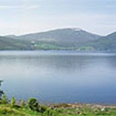
Ålvundfjorden
14.6 km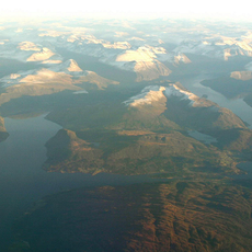
Stangvikfjorden
15 km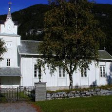
Todalen Church
1.3 km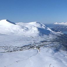
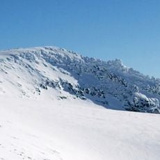
Vassnebba
4.5 km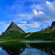
Innerdalen
14.4 km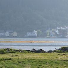
Todalsfjorden
2.9 km
Stangvik prestegård
16 km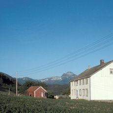
Kvande (Sjefsgarden)
11.7 km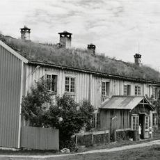
Søyset
10.3 km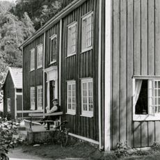
Surnadalsøra, Raulåna
16.8 km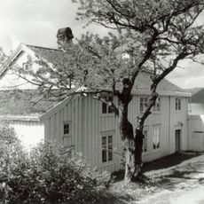
Kvande
11.7 km
Åsen
13.3 km
Scenic viewpoint
16.8 km
Scenic viewpoint
5.1 km
Bjøråskaret
10 km
Skardnebba
14.8 km
Tohatten NV
16.9 km
Scenic viewpoint
15.4 km
Flaggnuten
16.9 km
Scenic viewpoint
16.6 km
Scenic viewpoint
5.3 km
Kammen
9.1 km
Scenic viewpoint
9.9 km
Scenic viewpoint
4 km
Scenic viewpoint
4.3 km
Scenic viewpoint
4.4 km
Svinberget
15.3 kmReviews
Visited this place? Tap the stars to rate it and share your experience / photos with the community! Try now! You can cancel it anytime.
Discover hidden gems everywhere you go!
From secret cafés to breathtaking viewpoints, skip the crowded tourist spots and find places that match your style. Our app makes it easy with voice search, smart filtering, route optimization, and insider tips from travelers worldwide. Download now for the complete mobile experience.

A unique approach to discovering new places❞
— Le Figaro
All the places worth exploring❞
— France Info
A tailor-made excursion in just a few clicks❞
— 20 Minutes