
Muggerud
Location: Kongsberg Municipality
GPS coordinates: 59.57489,9.62883
Latest update: November 3, 2025 16:57
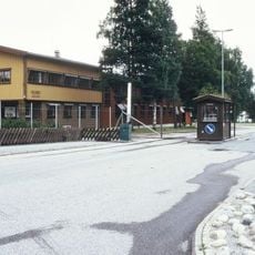
Heistadmoen
3.1 km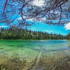
Mysutjernene
2.5 km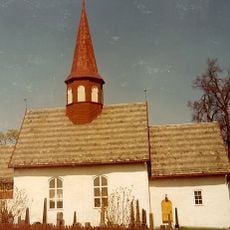
Hedenstad kyrkje
4.4 km
Kolknuten
5.2 km
Sandågrotta
3.7 km
Krona
3.2 km
Haugene
4.3 km
Muggerudkleiva
592 m
Rønningsfossene
1.3 km
Sandågjelet
3.4 km
Rosstjern
3.3 km
Jøgerfoss
3.4 km
Gravenfoss
5.3 km
Rønseterknatten
5.3 km
Rønningfossene
896 m
Berg nedre (berg øvre)
4.2 km
Bergverk-gruveanlegg
5.3 km
Dal
5.3 km
Kløvstad øvre
3.8 km
Sandsvær kapellangård
4 km
Volletjern
1.7 km
Ristvet
3 km
Myre skjerp
5 km
Jøgerfossen
3.4 km
Berg kobbergruve
4.1 km
Elstjernhaug skjerp
4.1 km
Rajesetra
5.3 km
Gravenfoss
5.3 kmReviews
Visited this place? Tap the stars to rate it and share your experience / photos with the community! Try now! You can cancel it anytime.
Discover hidden gems everywhere you go!
From secret cafés to breathtaking viewpoints, skip the crowded tourist spots and find places that match your style. Our app makes it easy with voice search, smart filtering, route optimization, and insider tips from travelers worldwide. Download now for the complete mobile experience.

A unique approach to discovering new places❞
— Le Figaro
All the places worth exploring❞
— France Info
A tailor-made excursion in just a few clicks❞
— 20 Minutes