
Martestølen
Location: Ullensvang Municipality
GPS coordinates: 59.79561,6.79076
Latest update: November 2, 2025 01:41
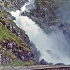
Låtefossen
20.5 km
Haukelifjell
21.4 km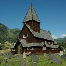
Røldal stave church
4.3 km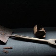
Zinc mine museum Sauda
24.1 km
Allmannajuvet
24.1 km
Espelandsfossen
20.4 km
Fjæra Chapel
24.2 km
Novlefoss
6.4 km
Røynevarden
21.7 km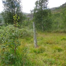
Reinsnos - Fetts fk. 1, Foss
21.6 km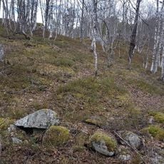
Berge - Fetts fk. 1, Åsthelleberget
20.7 km
Horda - Skålgropstein, Fjellstølen
4.3 km
Scenic viewpoint
8.3 km
Scenic viewpoint
17 km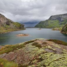
Svartavatnet
10 km
Fossefall
11.8 km
Scenic viewpoint
16.8 km
Grønnsdalsfossen
22.3 km
Scenic viewpoint
20.6 km
Scenic viewpoint
18.6 km
Scenic viewpoint
2.5 km
Scenic viewpoint
20.4 km
Storefurua
23.2 km
Jettegrytene på Rullestad
21 km
Scenic viewpoint
24 km
Scenic viewpoint
23.9 km
Scenic viewpoint
20.4 km
Scenic viewpoint
11.5 kmReviews
Visited this place? Tap the stars to rate it and share your experience / photos with the community! Try now! You can cancel it anytime.
Discover hidden gems everywhere you go!
From secret cafés to breathtaking viewpoints, skip the crowded tourist spots and find places that match your style. Our app makes it easy with voice search, smart filtering, route optimization, and insider tips from travelers worldwide. Download now for the complete mobile experience.

A unique approach to discovering new places❞
— Le Figaro
All the places worth exploring❞
— France Info
A tailor-made excursion in just a few clicks❞
— 20 Minutes