
Slottshaugen
Location: Søndre Land Municipality
GPS coordinates: 60.60284,10.31920
Latest update: March 17, 2025 09:56
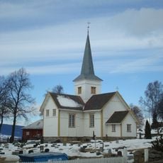
Hov Church
10.7 km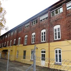
Raufoss Ammunisjonsfabrikker
21.2 km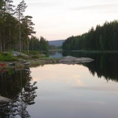
Fjorda
17.7 km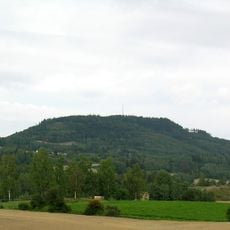
Brandbukampen
19.6 km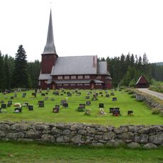
Skute Church
4.1 km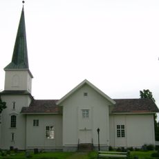
Nes Church
20.5 km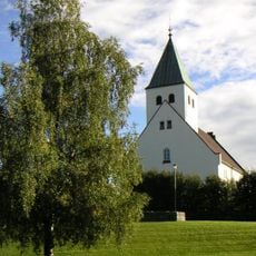
Raufoss Church
20.9 km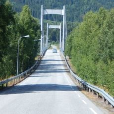
Fluberg bridge
18.3 km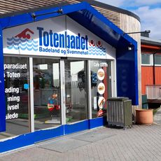
Toten Badeland
19.9 km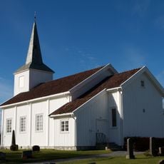
Eina Church
18.6 km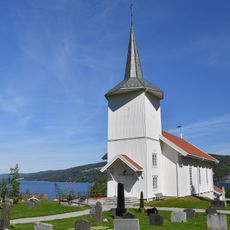
Sørum Church
9.7 km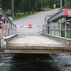
Tangen ferry quay
10.1 km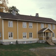
Brandbu prestegård
20.3 km
Søndre Land prestegård
19.1 km
Bryggerhuset, Røykenvika
21 km
Korterud Meieri
21.1 km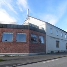
Eina Meieri
15.5 km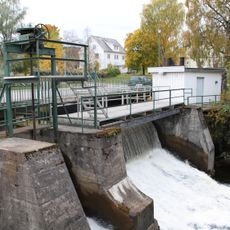
Raufossdemningen
21.1 km
Brandbu prestegård
20.3 km
Pakkbu, Røykenvika
20.9 km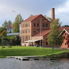
Nes Brenneri, Røykenvika
20.6 km
Kølbu, Røykenvika
20.8 km
Bilden
19.9 km
Stasjonsbygning/hovedbygning, Røykenvik stasjon
21 km
Shoddyfabrikk, Røykenvika
21.2 km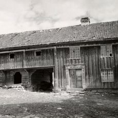
Ånnerud Aannerud aanerud
20.7 km
Demning, Smedshammer
20.7 km
Ljåsmia under Smedshammer
20.9 kmReviews
Visited this place? Tap the stars to rate it and share your experience / photos with the community! Try now! You can cancel it anytime.
Discover hidden gems everywhere you go!
From secret cafés to breathtaking viewpoints, skip the crowded tourist spots and find places that match your style. Our app makes it easy with voice search, smart filtering, route optimization, and insider tips from travelers worldwide. Download now for the complete mobile experience.

A unique approach to discovering new places❞
— Le Figaro
All the places worth exploring❞
— France Info
A tailor-made excursion in just a few clicks❞
— 20 Minutes