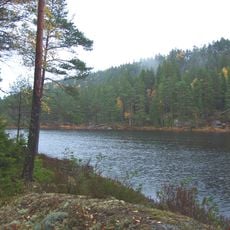
Hallerød
Location: Halden Municipality
GPS coordinates: 59.00616,11.65616
Latest update: November 1, 2025 13:26
Tresticklan National Park
6 km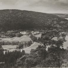
Berby
10.8 km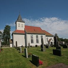
Prestebakke Church
7.2 km
Töftedal 36:1
9.5 km
Rønlien - Rønnlia
5.3 km
Nössemark 79:1
12.6 km
Töftedal 160:1
4.9 km
Töftedal 171:1
12.6 km
Töftedal 4:1
11.4 km
Töftedal 7:1
12.7 km
Töftedal 7:2
12.7 km
Töftedal 11:1
9.6 km
Scenic viewpoint
10.9 km
Scenic viewpoint
9 km
Hafsrødstøtta
9.7 km
Scenic viewpoint
9.6 km
Scenic viewpoint
7.5 km
Scenic viewpoint
10.3 km
Scenic viewpoint
10.4 km
Kjemperøysa
10.5 km
Scenic viewpoint
9 km
Scenic viewpoint
10.8 km
Scenic viewpoint
9.9 km
Scenic viewpoint
10 km
Scenic viewpoint
11.1 km
Scenic viewpoint
10.9 km
Scenic viewpoint
7.5 km
Scenic viewpoint
4.8 kmReviews
Visited this place? Tap the stars to rate it and share your experience / photos with the community! Try now! You can cancel it anytime.
Discover hidden gems everywhere you go!
From secret cafés to breathtaking viewpoints, skip the crowded tourist spots and find places that match your style. Our app makes it easy with voice search, smart filtering, route optimization, and insider tips from travelers worldwide. Download now for the complete mobile experience.

A unique approach to discovering new places❞
— Le Figaro
All the places worth exploring❞
— France Info
A tailor-made excursion in just a few clicks❞
— 20 Minutes