Tresticklan National Park, National park in Dalsland, Sweden
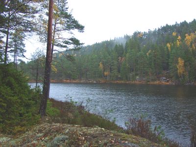
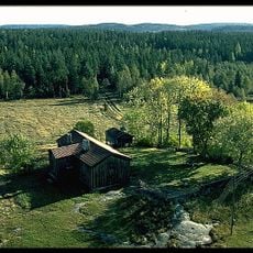
Tresticklan National Park is a protected area in Dalsland covering about 28 square kilometers, featuring lakes, ancient pine forests, and lichen-covered rocks near the Norwegian border. The terrain is relatively flat to gently rolling, with several hiking trails of varying difficulty threading through the park.
The park was established in 1996 to protect one of southern Scandinavia's last surviving ancient forest ecosystems in Västra Götaland County. This conservation effort preserved a landscape that has shaped the region's natural woodland structure for centuries.
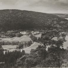
The park's name comes from Lake Stora Tresticklan's triangular shape, which reflects how Swedish protected areas are often named after local geography. Visitors notice this connection while walking through the area, as the lake forms a central feature of the landscape.
The park features several hiking trails for different fitness levels, with designated camping spots available for longer wilderness stays. Visitors should bring weather-appropriate clothing and ensure they have adequate supplies, as there are no shops within the park itself.
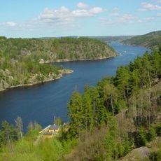
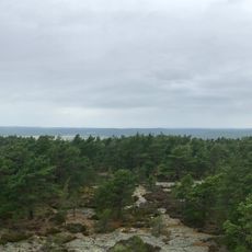
The park's highest point, Orshöjden, rises 276 meters above sea level and offers sweeping views across sparse pine forests and numerous lakes. Many hikers overlook this summit, though it provides a rare vantage point over the larger forest landscape of the region.
The community of curious travelers
AroundUs brings together thousands of curated places, local tips, and hidden gems, enriched daily by 60,000 contributors worldwide.