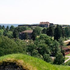
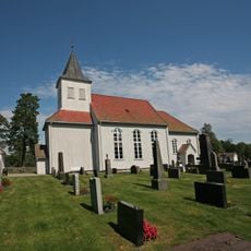
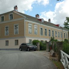
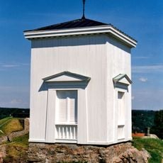
Björnerödspiggen, Television and observation tower in Vännäs, Sweden.
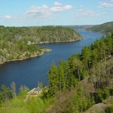
Björnerödspiggen is a hill by the Idefjord in Strömstad Municipality, Västra Götaland County. Its summit reaches 222 metres above sea level, the highest point in the historic province of Bohuslän. The Bohusleden long-distance trail crosses the top.
Björnerödspiggen is a natural hill, not a built structure, so it has no construction date. Its documented history is cartographic: Swedish sources record its height as 222 metres above sea level, the highest point in the historical province of Bohuslän, and the long-distance trail Bohusleden was routed over its summit. The site lies by the Idefjorden in Strömstad Municipality, in Västra Götaland County.
The name Björnerödspiggen combines the farm name Björneröd with spiggen, a pointed peak. The Bohusleden long-distance trail crosses the summit, so hikers pass the highest point of Bohuslän on foot. The hill rises beside the Idefjord, the inlet that forms the border with Norway.
The summit is reached on foot along the Bohusleden long-distance trail, which passes over the top; there is no road access to the highest point. The hill lies by the Idefjorden in Strömstads kommun, near the Norwegian border, so plan for a hike rather than a drive. Wear footwear suited to rocky, uneven ground.
The summit is the highest point in Bohuslän at 222 metres above sea level, yet it lies in Strömstad Municipality by the Idefjord, on the border with Norway. The Bohusleden long-distance trail crosses the top, so hikers pass the provincial high point without needing to leave the marked path.
The community of curious travelers
AroundUs brings together thousands of curated places, local tips, and hidden gems, enriched daily by 94,562 contributors worldwide.