
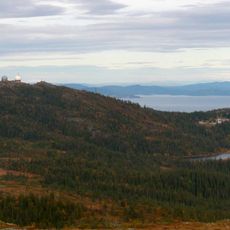
Hanger-våttan
Location: Trondheim municipality
GPS coordinates: 63.37922,10.08314
Latest update: May 31, 2025 02:03
Gråkallen
9.6 km
Flatåsen
12.9 km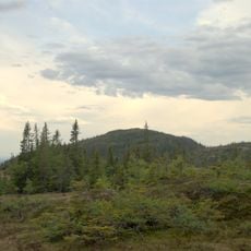
Storheia
6.4 km
Dreiers minne
12.3 km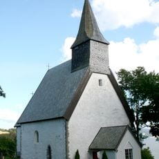
Byneset Church
3.1 km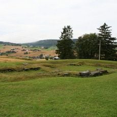
Husaby kirkeruin
13.4 km
Skistua (Trondheim)
9.9 km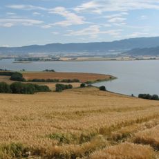
Gaulosen
3.6 km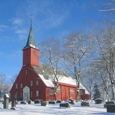
Leinstrand Church
12.5 km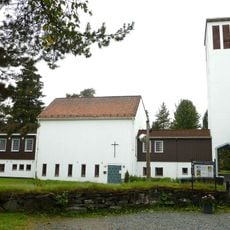
Heimdal Church
13.8 km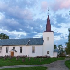
Stadsbygd Church
13.8 km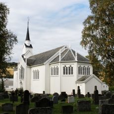
Børsa Church
6 km
Elgsethytta
7.8 km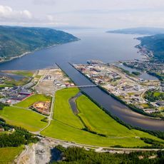
Orkdal Fjord
8 km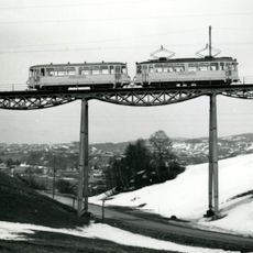
Hoemsbrua
13.1 km
Ingdalen Chapel
12.5 km
Bymarka
8.3 km
Fjellseter kapell
10.5 km
Damhaugen
12.5 km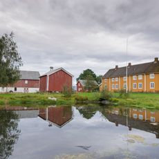
Stadsbygd prestegård
13.6 km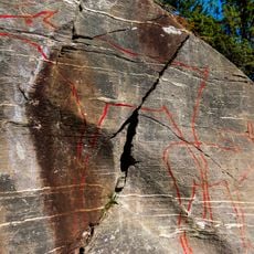
Stykket rock carvings
13 km
Leirbrua
11.7 km
Rødberg tåkeklokke
12.9 km
Rossvollbrua
6.4 km
Saltnesbrua
9.4 km
Husebybadet
13.4 km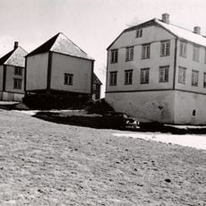
FERSTAD
13.6 km
Børsa prestegård
6.2 kmReviews
Visited this place? Tap the stars to rate it and share your experience / photos with the community! Try now! You can cancel it anytime.
Discover hidden gems everywhere you go!
From secret cafés to breathtaking viewpoints, skip the crowded tourist spots and find places that match your style. Our app makes it easy with voice search, smart filtering, route optimization, and insider tips from travelers worldwide. Download now for the complete mobile experience.

A unique approach to discovering new places❞
— Le Figaro
All the places worth exploring❞
— France Info
A tailor-made excursion in just a few clicks❞
— 20 Minutes