
Fu'tebrudalen
Location: Kongsberg Municipality
GPS coordinates: 59.45753,9.75731
Latest update: September 25, 2025 02:22
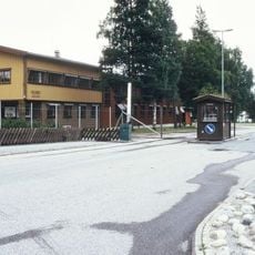
Heistadmoen
16.2 km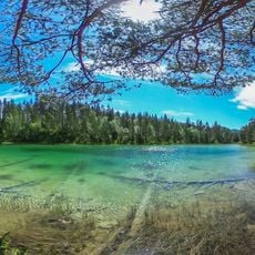
Mysutjernene
12.5 km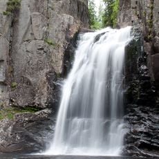
Trollfoss
13.6 km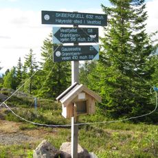
Skibergfjellet
18.3 km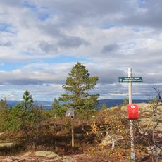
Vestfjellet
17.9 km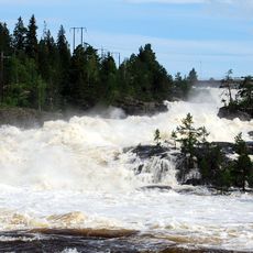
Labrofossen
18.9 km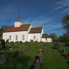
Hof kirke
20.4 km
Grenland Motorsportsenter
20.1 km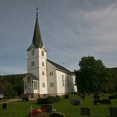
Siljan Church
19 km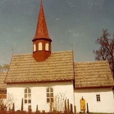
Hedenstad kyrkje
18.1 km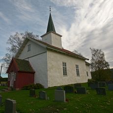
Styrvoll Church
15.5 km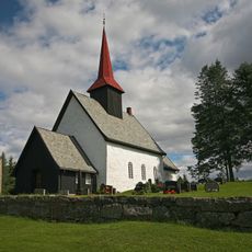
Vassås kirke i Vestfold
19.1 km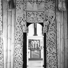
Category:Tuft stavkirke
14.9 km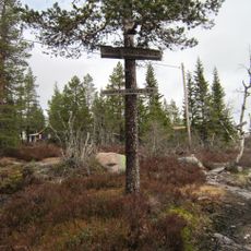
Skrim og Sauheradfjella
13.6 km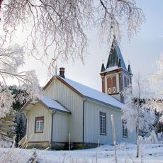
Luksefjell kapell
14 km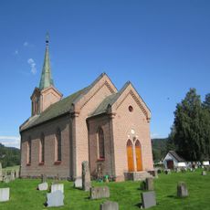
Tuft Church
14.9 km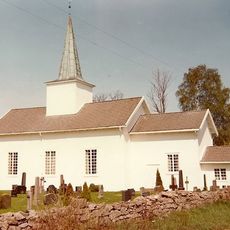
Svarstad Church
13.1 km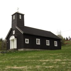
Grorud kapell
7.2 km
Kvennafossen
15.1 km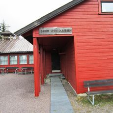
Skrim sportskapell
3.7 km
Lardal prestegård
13.3 km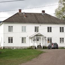
Siljan prestegård
19.1 km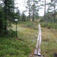
Tolvmannsmyr
18 km
Lågabakkane
14.2 km
Komnes Stave Church
10.3 km
Hof Parsonage
20.4 km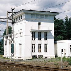
Skollenborg transformatorstasjon - Randsfjordbanen
18.7 km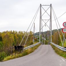
Komnes hengebru
9.3 kmReviews
Visited this place? Tap the stars to rate it and share your experience / photos with the community! Try now! You can cancel it anytime.
Discover hidden gems everywhere you go!
From secret cafés to breathtaking viewpoints, skip the crowded tourist spots and find places that match your style. Our app makes it easy with voice search, smart filtering, route optimization, and insider tips from travelers worldwide. Download now for the complete mobile experience.

A unique approach to discovering new places❞
— Le Figaro
All the places worth exploring❞
— France Info
A tailor-made excursion in just a few clicks❞
— 20 Minutes