
Årland - Munkahogget
Location: Samnanger Municipality
GPS coordinates: 60.40156,5.69795
Latest update: July 21, 2025 23:40
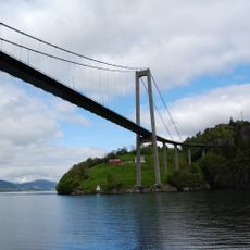
Osterøy Bridge
9.3 km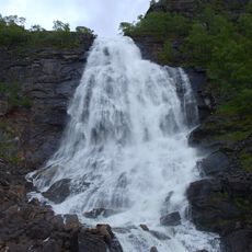
Fossen Bratte
10.6 km
Espeland prisoner-of-war camp
12.6 km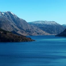
Sørfjorden
6 km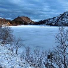
Gullbotn
3.2 km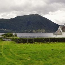
Bruvik Church
8.8 km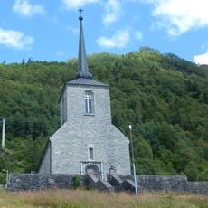
Vaksdal Church
8.5 km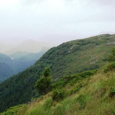
Ådnanipa
12 km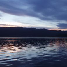
Samnangerfjorden
10.1 km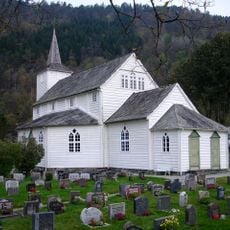
Samnanger Church
741 m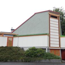
Haga Church
4.2 km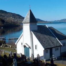
Takvam Chapel
9.7 km
Reppadalen nature reserve
10.6 km
Ådnatun museum
12.5 km
Hausdalshorga
11.2 km
Kråmyrane
3.7 km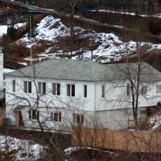
Trengereid bedehuskapell
4.8 km
HAVRÅ bnr 17
7.8 km
HAVRÅ bnr 3
8 km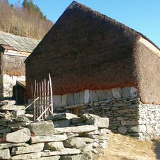
HAVRÅ bnr 6
7.9 km
HAVRÅ bnr 4
7.9 km
HAVRÅ bnr 5
7.9 km
HAVRÅ bnr 15
7.9 km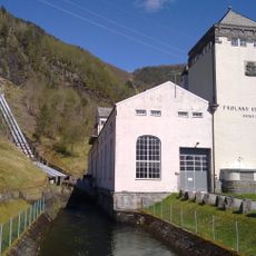
Frøland kraftverk
6.3 km
HAVRÅ bnr 1, fnr 1
9 km
HAVRÅ bnr 7
7.9 km
HAVRÅ bnr 2
8 km
HAVRÅ bnr 1
7.9 kmReviews
Visited this place? Tap the stars to rate it and share your experience / photos with the community! Try now! You can cancel it anytime.
Discover hidden gems everywhere you go!
From secret cafés to breathtaking viewpoints, skip the crowded tourist spots and find places that match your style. Our app makes it easy with voice search, smart filtering, route optimization, and insider tips from travelers worldwide. Download now for the complete mobile experience.

A unique approach to discovering new places❞
— Le Figaro
All the places worth exploring❞
— France Info
A tailor-made excursion in just a few clicks❞
— 20 Minutes