
Sande prestegard, prestegard i Vestfold
Location: Holmestrand Municipality
GPS coordinates: 59.59233,10.20845
Latest update: April 7, 2025 17:32
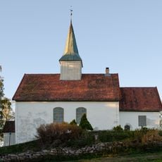
Skoger old Church
9.5 km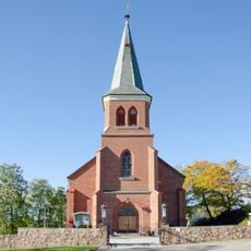
Skoger Church
10.5 km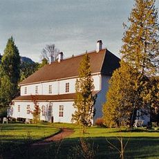
Eidsfos Hovedgård
9.4 km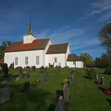
Hof kirke
9.3 km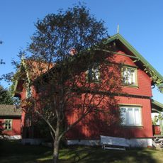
Olav og Emma Duuns hus
11 km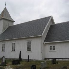
Hillestad Church
9.1 km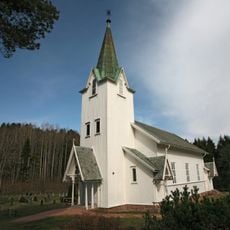
Berger Church
11.4 km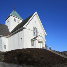
Eidsfoss Church
9.2 km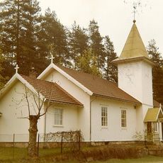
Bekkestranda Church
7.9 km
Gåserumpa
10.9 km
Bogen
7.6 km
Grunnane
10.8 km
Eplerud
4.2 km
Gunnestad
299 m
Killingholmen
10.7 km
Kattholmane
7.1 km
Bekkeskjæret
6.5 km
Petersætra and Trestikledalen nature reserve
7.4 km
Hillestadåsen
7.1 km
Tjønna
10.7 km
Presteseter
10.3 km
Høymyr
6.1 km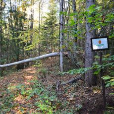
Bergan
7.5 km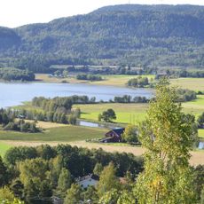
Sandebukta
3 km
Sæteråsen
4.9 km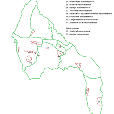
Trestikle
10.5 km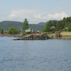
Kulpa
10.3 km
St. Hansåsen
5.5 kmReviews
Visited this place? Tap the stars to rate it and share your experience / photos with the community! Try now! You can cancel it anytime.
Discover hidden gems everywhere you go!
From secret cafés to breathtaking viewpoints, skip the crowded tourist spots and find places that match your style. Our app makes it easy with voice search, smart filtering, route optimization, and insider tips from travelers worldwide. Download now for the complete mobile experience.

A unique approach to discovering new places❞
— Le Figaro
All the places worth exploring❞
— France Info
A tailor-made excursion in just a few clicks❞
— 20 Minutes