
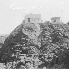
Stegle
Location: Flekkefjord Municipality
GPS coordinates: 58.23149,6.52396
Latest update: November 2, 2025 02:47
Varnes fyr
8.4 km
Stolsfjorden
9.1 km
Kongesundet
221 m
Laugøyna (Laugøya eller Kongeøya)
579 m
Kompassroser på Eigenes
4 km
Kompassrose og innskrifter på Husøyna
4 km
Kompassrose på Holmen
5.1 km
Deer
10.8 km
Scenic viewpoint
8.9 km
Grotte
4 km
Brufjell Potholes
9 km
Galleri Omland
533 m
Moose
10.8 km
Bears
10.8 km
Jettegryte
9 km
Sculpture, Work of art
10.8 km
Hummarås
4.3 km
Storeheia
10.9 km
Gyra
4 km
Kjørsfjellet
2.7 km
Masta
8.8 km
Scenic viewpoint
6.8 km
Scenic viewpoint
7.8 km
Scenic viewpoint
9.7 km
Scenic viewpoint
1.7 km
Lilleheia viewpoint
10.7 km
Scenic viewpoint
6.7 km
Scenic viewpoint
10.7 kmReviews
Visited this place? Tap the stars to rate it and share your experience / photos with the community! Try now! You can cancel it anytime.
Discover hidden gems everywhere you go!
From secret cafés to breathtaking viewpoints, skip the crowded tourist spots and find places that match your style. Our app makes it easy with voice search, smart filtering, route optimization, and insider tips from travelers worldwide. Download now for the complete mobile experience.

A unique approach to discovering new places❞
— Le Figaro
All the places worth exploring❞
— France Info
A tailor-made excursion in just a few clicks❞
— 20 Minutes