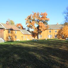
Hermandrud
Location: Østre Toten Municipality
GPS coordinates: 60.71336,10.80729
Latest update: November 17, 2025 18:43
Stenberg, Oppland
3.2 km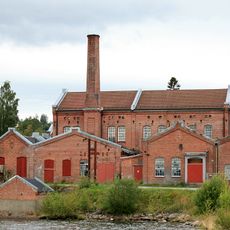
Kapp Melkefabrikk
2.8 km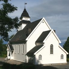
Kapp Church
3 km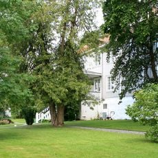
Hoff prestegård
3.9 km
Kile
3.8 km
Eriksrudtjernet naturreservat
3.7 km
Evenrud
3 km
Heggshuselva
528 m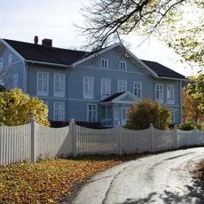
Underslaus
3.7 km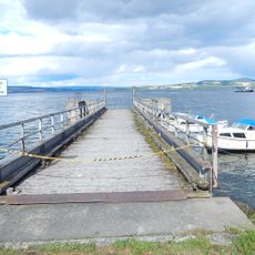
Kapp ferjebrygge, Kapp
3.1 km
Kongsbåtbrygga Tallodden
3.6 km
Smørvigen, Kapp
3.4 km
Talloddenbrygga, Kapp
3.6 km
Steinbrygga
2.9 km
Kapp Brygge, Kapp
3.1 km
Hoff Meieri
3.6 km
Pottaskekokeri, Lunna
2.3 km
Kraftverk, Kverndalen
3.8 km
Hermanrud Mølle
954 m
Hekshus Brenneri
2.2 km
Stabo nedre
3.2 km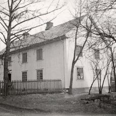
Haugen
3.4 km
Hveem bygningen, skipsvolden, Østre kvem, museum
3.1 km
Storbrygga, Kapp Melkefrabrikk
2.9 km
Stabusteinen
3.5 km
Hekshus brygge
2.4 km
Djupdalsborgen, Tjuvborgen
153 m
Work of art, statue
3.2 kmReviews
Visited this place? Tap the stars to rate it and share your experience / photos with the community! Try now! You can cancel it anytime.
Discover hidden gems everywhere you go!
From secret cafés to breathtaking viewpoints, skip the crowded tourist spots and find places that match your style. Our app makes it easy with voice search, smart filtering, route optimization, and insider tips from travelers worldwide. Download now for the complete mobile experience.

A unique approach to discovering new places❞
— Le Figaro
All the places worth exploring❞
— France Info
A tailor-made excursion in just a few clicks❞
— 20 Minutes