
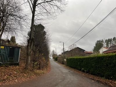
Solliveien, weg in Noorwegen
Location: Bærum Municipality
GPS coordinates: 59.91250,10.63006
Latest update: October 2, 2025 18:06
Munkebakken, Bærum
1 km
Ringstabekk
2 km
Vækerø Manor
1.5 km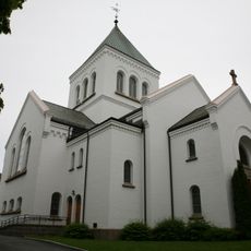
Ullern Church
2 km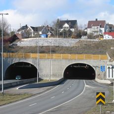
Granfoss Tunnel
849 m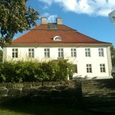
Fornebu hovedgård
1.1 km
Bygdøy sjøbad
2 km
Furulund Bunker
1.4 km
Nansenparken
1.9 km
Lysakerfjorden
1.8 km
Lagmannsholmen Nature Reserve
1.7 km
Kilentunet Chapel
788 m
Fåbro gård
667 m
Bærum kunsthall
1.5 km
Engineerium
1.1 km
Emanuels vei
119 m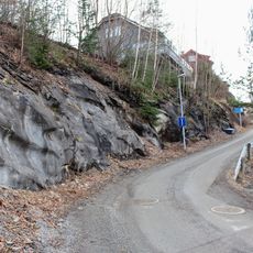
Bjørnekroken, Bærum
143 m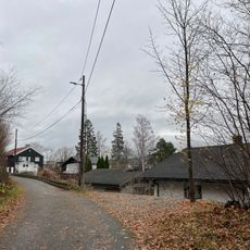
Dicks vei
717 m
Magnus Poulssons vei
495 m
Fridtjof Nansens vei
587 m
Michelets vei
1.2 km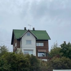
Kveldsro terrasse
1.9 km
Professor Kohts vei
521 m
Lysaker torg
377 m
Ørakerbråten
920 m
Nygaard og Øvergård
833 m
Vækerøy
1.4 km
Lilleaker
1.4 kmReviews
Visited this place? Tap the stars to rate it and share your experience / photos with the community! Try now! You can cancel it anytime.
Discover hidden gems everywhere you go!
From secret cafés to breathtaking viewpoints, skip the crowded tourist spots and find places that match your style. Our app makes it easy with voice search, smart filtering, route optimization, and insider tips from travelers worldwide. Download now for the complete mobile experience.

A unique approach to discovering new places❞
— Le Figaro
All the places worth exploring❞
— France Info
A tailor-made excursion in just a few clicks❞
— 20 Minutes