Gmina Zawady, Rural municipality in Białystok County, Poland
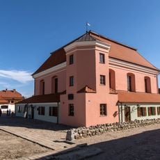
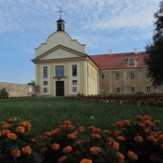
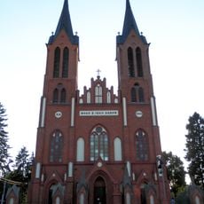
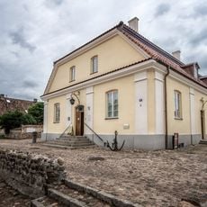
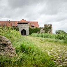
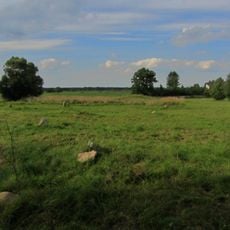
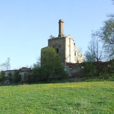
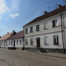
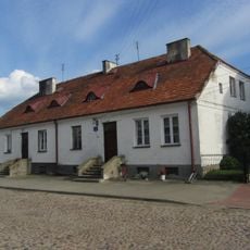
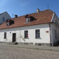
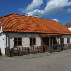
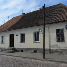
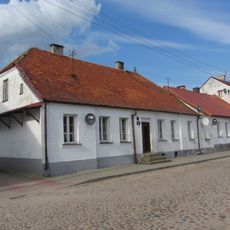
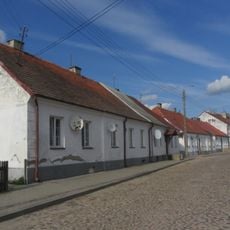
Gmina Zawady is a rural municipality in the Białystok region of northeastern Poland, spreading across several small villages and agricultural lands. The area is characterized by open fields, scattered settlements, and the gentle landscape typical of the region's farming zones.
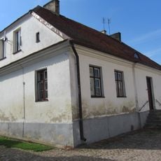
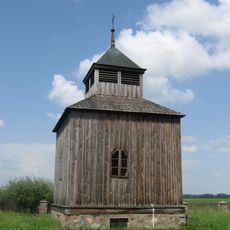
The area experienced major upheaval during World War II when Soviet forces entered in 1939 and German forces took control in 1941. This period left lasting marks on the local landscape and shaped the community's path forward.
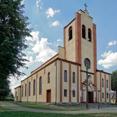
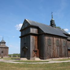
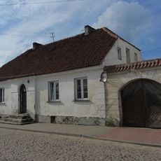
The municipality remains rooted in farming and village life, where traditional ways of working the land continue to shape daily routines. Local communities gather around shared agricultural rhythms and neighborhood practices that define the region.
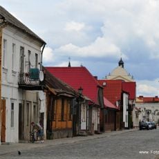
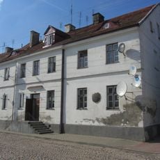
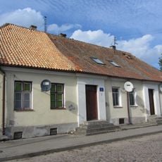
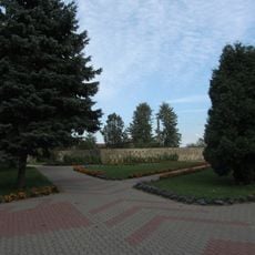
The municipality serves as an administrative center for the surrounding villages and provides basic public services to residents. Roads connect the scattered settlements, making it possible to visit different parts of the area at your own pace.
Polish resistance fighters launched a raid on a German gendarmerie post here in 1943. This small location played a role in larger armed movements against occupation during the war.
Location: Białystok County
Website: http://gminazawady.pl
GPS coordinates: 53.15528,22.66611
Latest update: December 11, 2025 18:03
Tykocin Synagogue
8.9 km
Bernardine Monastery in Tykocin
8.8 km
Saint Stanislaus Church in Kobylin-Borzymy
7.2 km
Small Synagogue in Tykocin
8.8 km
Muzeum Oręża Polskiego w Kiermusach
6.7 km
Jewish cemetery in Tykocin
8.3 km
Museum in Tykocin
8.9 km
Church of Transfiguration in Zawady
100 m
Muzeum w Tykocinie Oddział Muzeum Podlaskiego w Białymstoku
8.8 km
Folwark in Stare Jeżewo
4.9 km
Church of the Nativity of the Virgin Mary in Cibory-Kołaczki
7.6 km
25 Piłsudskiego Street in Tykocin
8.9 km
Kaczorowska 9
8.8 km
Piłsudskiego 27
8.9 km
5 Kaczorowska Street in Tykocin
8.8 km
Kozia 1
8.8 km
22 Piłsudskiego Street in Tykocin
8.8 km
23 Piłsudskiego Street in Tykocin
8.9 km
2 Czarnieckiego Square in Tykocin
9.1 km
7 Kaczorowska Street in Tykocin
8.8 km
Piłsudskiego 29
8.8 km
31 Piłsudskiego Street in Tykocin
8.8 km
Piłsudskiego 33
8.8 km
Piłsudskiego 35
8.8 km
Bernardine Monastery in Tykocin - garden and monastery yard
8.8 km
Dzwonnica (przeniesiona z Zawad) w Ciborach-Kołaczkach
7.6 km
Zespół cmentarza rzym.-kat. z kaplicą
525 m
Belfry gate in Tykocin
8.9 kmVisited this place? Tap the stars to rate it and share your experience / photos with the community! Try now! You can cancel it anytime.
Discover hidden gems everywhere you go!
From secret cafés to breathtaking viewpoints, skip the crowded tourist spots and find places that match your style. Our app makes it easy with voice search, smart filtering, route optimization, and insider tips from travelers worldwide. Download now for the complete mobile experience.
A unique approach to discovering new places❞
— Le Figaro
All the places worth exploring❞
— France Info
A tailor-made excursion in just a few clicks❞
— 20 Minutes