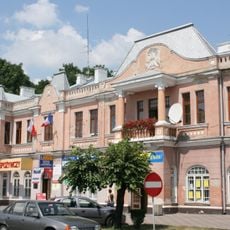
Hrubieszów, Historic town in eastern Lublin Voivodeship, Poland.
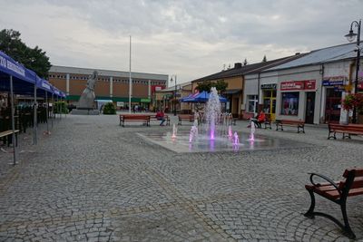
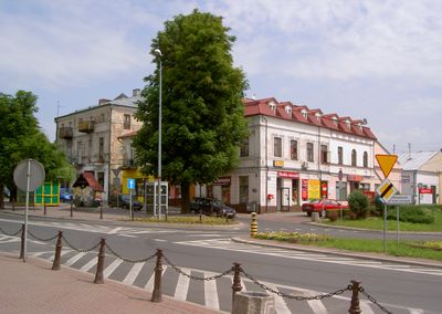
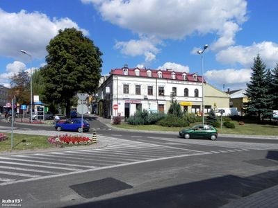
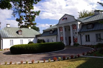
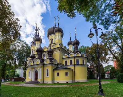
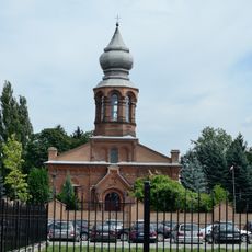
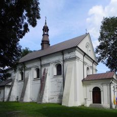
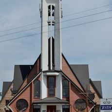
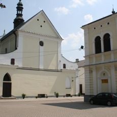
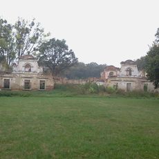
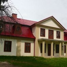
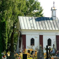
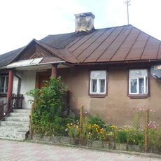
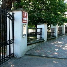
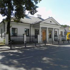
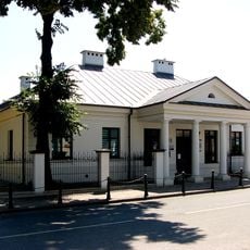
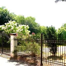
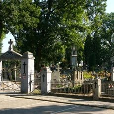
Hrubieszów is a town in the eastern part of Lublin Voivodeship near the border with Ukraine. The town follows the course of the Huczwa River and shows a mix of residential buildings, churches and older street patterns.
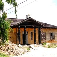
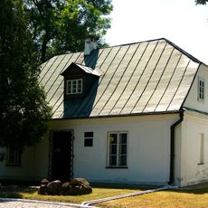
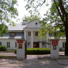
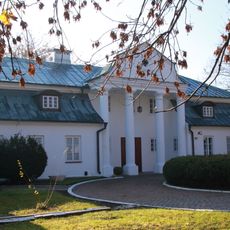
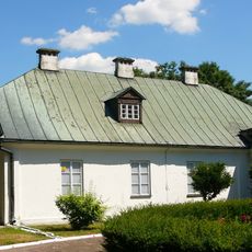
The town received its charter in 1400 from King Władysław II Jagiełło and became an administrative center in eastern Poland. Later, Stanisław Staszic founded the first agricultural cooperative in Europe here in 1800.
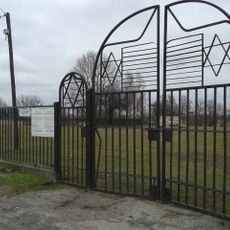
The population of Hrubieszów included Polish, Jewish, and Ukrainian communities, each contributing to the development of religious and educational institutions.
National Road 74 connects the town to the border crossing with Ukraine and provides the main approach. Narrow gauge and standard gauge rail lines add to the transport options.
The agricultural society from 1800 was the first of its kind on the European continent. This initiative later influenced the development of similar organizations in many countries.
Location: Hrubieszów County
Elevation above the sea: 200 m
Website: http://miasto.hrubieszow.pl
GPS coordinates: 50.80000,23.91667
Latest update: December 13, 2025 18:48
Orthodox church in Hrubieszów
2 km
Our Lady of Perpetual Help church in Hrubieszów
2.7 km
Saint Stanislaus Kostka church in Hrubieszów
1.9 km
Muzeum im. ks. Stanisława Staszica w Hrubieszowie
3 km
Jewish cemetery in Hrubieszów
1.6 km
Holy Spirit church in Hrubieszów
809 m
Saint Nicholas church in Hrubieszów
2 km
Zespół dworski w Moroczyniu
4.2 km
Park ze stawami oraz aleja dojazdowa od wschodu
4.1 km
Saint Nicholas Rectory in Hrubieszów
2.1 km
Cmentarz rzym.-kat. z kwaterami prawosławnymi i wojskowymi w Hrubieszowie
848 m
Kaplica w Hrubieszowie
894 m
Dworek, Krucza 12 w Hrubieszowie
1.5 km
Oficyna II (zach.)
2.1 km
18a Czerwonego Krzyża Street in Hrubieszów
1.6 km
10 3 Maja Street in Hrubieszów
2.3 km
Zespół dworski „Du Chateau”
2.1 km
Dwór, ob. muzeum
2.1 km
Oficyna I (wsch.)
2.1 kmKościelna <del>2b</del> 3
2 km
Ogrodzenie
2.1 km
Zespół dworku Gołachowskich
2.2 km
Dworek Gołachowskich, 3 Maja 17 w Hrubieszowie
2.2 km
Ogród
2.2 km
Zespół cmentarza rzym.-kat.
848 m
Former dominican monastery complex in Hrubieszów
1.9 km
Zespół klasztorny dominikanów
2 kmUkład urbanistyczny miasta obejmujący zabudowę wyspy okolonej przez rz. Huczwę wraz z przedmieściem w rejonie ulic Podzamcza i 1 Maja, z historyczną siecią ulic i placów oraz skalą zabudowy, także sylwetę miasta i konfigurację terenu
2.1 kmVisited this place? Tap the stars to rate it and share your experience / photos with the community! Try now! You can cancel it anytime.
Discover hidden gems everywhere you go!
From secret cafés to breathtaking viewpoints, skip the crowded tourist spots and find places that match your style. Our app makes it easy with voice search, smart filtering, route optimization, and insider tips from travelers worldwide. Download now for the complete mobile experience.
A unique approach to discovering new places❞
— Le Figaro
All the places worth exploring❞
— France Info
A tailor-made excursion in just a few clicks❞
— 20 Minutes