Gmina Świedziebnia, Rural municipality in Brodnica County, Poland
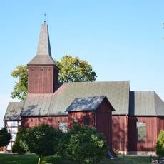
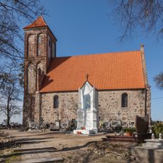
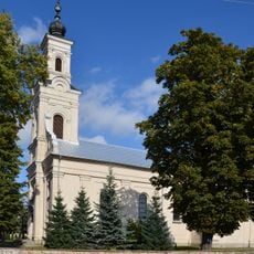
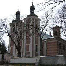
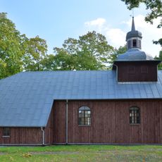
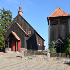
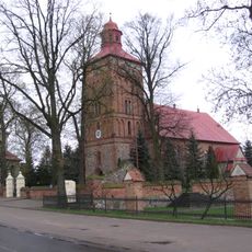
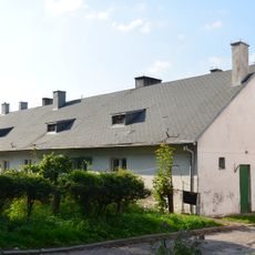
Gmina Świedziebnia is a rural municipality in north-central Poland that encompasses several villages including Brodniczka, Chlebowo, and Dzierzno. The administrative hub is located approximately 15 kilometers southeast of Brodnica and provides municipal services to the communities spread across the territory.
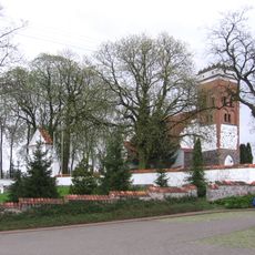
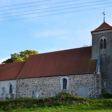
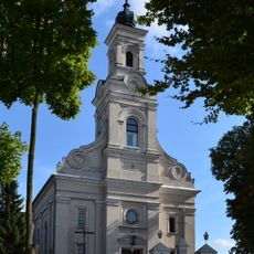
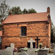
The village of Świedziebnia served as a meeting place for the Polish War Council during the November Uprising in 1831. This moment linked the area to Poland's struggle for independence during the 19th century.
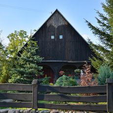
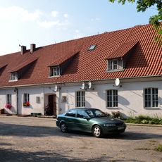
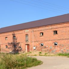
Agricultural life shapes how the landscape and communities are organized here. You can see traditional farming practices woven into the daily rhythm of the villages across the territory.
The area is best reached by local roads that connect the scattered villages and the administrative center. Visitors should know that this is a rural region where most services depend on nearby larger towns.
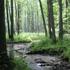
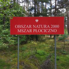
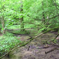
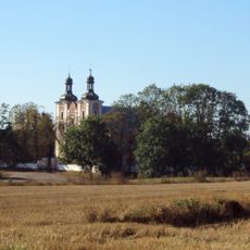
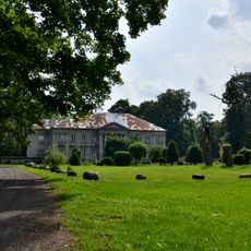
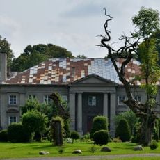
Part of the territory is within Górzno-Lidzbark Landscape Park, which contains protected natural zones and environmental reserves. These areas shape how the land looks and offer visitors chances to see the region's natural character.
The community of curious travelers
AroundUs brings together thousands of curated places, local tips, and hidden gems, enriched daily by 60,000 contributors worldwide.