Enable Location

We need your location to show you interesting places around you

Discover nearby places

Find interesting locations and hidden gems around you

Precise directions

Get accurate directions and distances to places

Your location is never shared with other users. It's only used when you tap the location button.

Gmina Kłodawa

Log in to your account

Start exploring — it's free

Trusted by 65,409 travelers worldwide

Continue with Google
Continue with Apple
or

We will send you a code to connect

By continuing, you accept our Terms and Conditions and our Privacy Policy

Check your inbox

We've sent a pincode in your inbox. Please enter the code below.

Discussion Reviews 1 Photos
6k Popularity

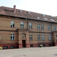
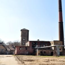
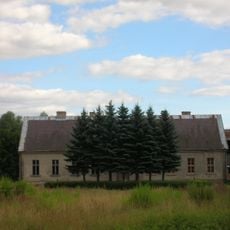
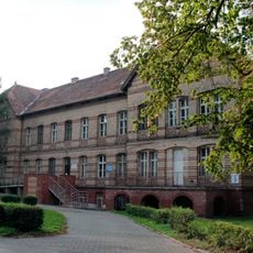
Gmina Kłodawa, Rural municipality in Gorzów County, Poland

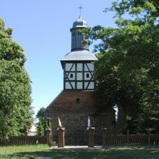
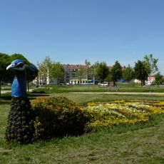
Gmina Kłodawa is a rural municipality in Gorzów County, in western Poland, made up of several villages and small settlements. Part of its territory falls within the Barlinek-Gorzów Landscape Park, a protected area known for its forests and lakes.

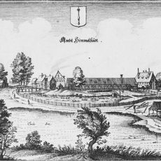
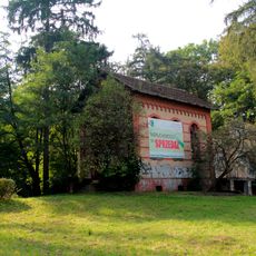
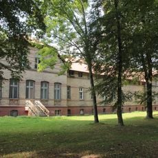
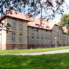
The area was first settled by Slavic populations and later came under German influence, particularly in the modern era. After World War II it became part of Poland and took on its current administrative form.

The name reflects Slavic heritage rooted in this part of Poland. Residents maintain connections to their past through everyday practices and how they use their villages and the surrounding land.

A car is the most practical way to move between the villages, as public transport connections are limited. Many parts of the landscape park can be reached on foot along marked forest and walking trails.

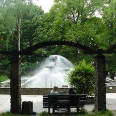
The territory is home to several natural lakes, including Przyłężek Lake, which sits within a protected zone and supports rare plant and animal species. The presence of these lakes gives the area a very different character from the flat farmland surrounding the villages.

The community of curious travelers

AroundUs brings together thousands of curated places, local tips, and hidden gems, enriched daily by 60,000 contributors worldwide.

Start exploring
Location
Shares border with
Nowogródek Pomorski, Gmina Barlinek, Gorzów Wielkopolski, Gmina Lubiszyn, Gmina Santok, Gmina Strzelce Krajeńskie
GPS coordinates
52.79139,15.21583
Latest update
March 3, 2026 10:09
Reviews
Share your experience

No review yet

Discussions
Start a discussion...

No discussion yet

« Gmina Kłodawa - Rural municipality in Gorzów County, Poland » is provided by Around Us (aroundus.com). Images and texts are derived from Wikimedia project under a Creative Commons license. You are allowed to copy, distribute, and modify copies of this page, under the conditions set by the license, as long as this note is clearly visible.

Discover hidden gems everywhere you go!

From secret cafés to breathtaking viewpoints, skip the crowded tourist spots and find places that match your style. Our app makes it easy with voice search, smart filtering, route optimization, and insider tips from travelers worldwide. Download now for the complete mobile experience.

Around Us App Screenshot

A unique approach to discovering new places

Le Figaro

All the places worth exploring

France Info

A tailor-made excursion in just a few clicks

20 Minutes

Around Us
Travel Guide & Maps
Download

Send to your phone

QR Code
1

Open the camera app on your mobile.

2

Point at the QR code with your camera. A notification will appear.

3

Tap the notification to open the link.