Log in to your account

AroundUs is a community-driven map of interesting places, built by curious explorers like you. It grows with every review, story, and photo you share.
Connect to save your favorite spots, contribute locations, and create personalized routes.
Continue with Google
Continue with Apple
Continue with X
Continue with Facebook
Continue with email
By continuing, you accept our Terms and Conditions and our Privacy Policy
Create an account
Add to collection
Map
Suggest a change
Share

Gmina Warka, Urban-rural municipality in Masovian Voivodeship, Poland

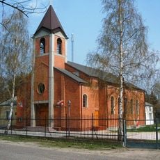
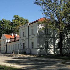
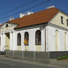
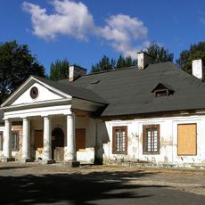
Gmina Warka is an urban-rural municipality in Masovian Voivodeship that spreads across the landscape along the Pilica River. The territory includes the town of Warka at its center, surrounded by smaller villages that make up the larger administrative region.

The region gained administrative importance in 1321 when the town of Warka received formal recognition as a governance center. This charter established the foundation for local administration that would shape the territory for centuries to come.

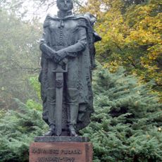
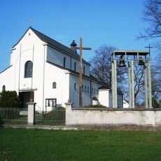
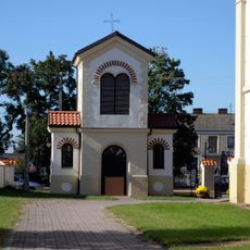
The area holds deep ties to General Casimir Pulaski and Colonel Piotr Wysocki, with memorial sites throughout the territory honoring these historical figures. These places serve as reminders of the region's connection to Polish national history.

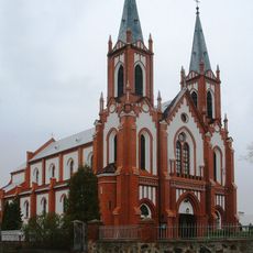
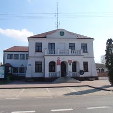
This area serves roughly 18,900 residents spread across its urban and rural sections, with administrative offices based in the town of Warka. Visitors will find essential services and amenities concentrated in the town, while the surrounding villages maintain a quieter, more rural character.

The Warka brewery has been operating in this region since 1478, making it one of Poland's oldest continuously functioning breweries and a defining part of local heritage. This brewing tradition spanning over five centuries gives the territory a unique connection to beer culture that few places in the country can match.

Location: Grójec County

Shares border with: Gmina Białobrzegi, Gmina Chynów, Gmina Góra Kalwaria, Gmina Grabów nad Pilicą, Gmina Jasieniec, Gmina Magnuszew, Gmina Promna, Gmina Sobienie-Jeziory, Gmina Stromiec, Gmina Wilga

Website: http://warka.pl

GPS coordinates: 51.78333,21.20000

Latest update: December 11, 2025 11:06

Photos
Reviews

Visited this place? Tap the stars to rate it and share your experience / photos with the community! Try now! You can cancel it anytime.

« Gmina Warka - Urban-rural municipality in Masovian Voivodeship, Poland » is provided by Around Us (aroundus.com). Images and texts are derived from Wikimedia project under a Creative Commons license. You are allowed to copy, distribute, and modify copies of this page, under the conditions set by the license, as long as this note is clearly visible.

Discover hidden gems everywhere you go!

From secret cafés to breathtaking viewpoints, skip the crowded tourist spots and find places that match your style. Our app makes it easy with voice search, smart filtering, route optimization, and insider tips from travelers worldwide. Download now for the complete mobile experience.

Around Us App Screenshot

A unique approach to discovering new places

Le Figaro

All the places worth exploring

France Info

A tailor-made excursion in just a few clicks

20 Minutes