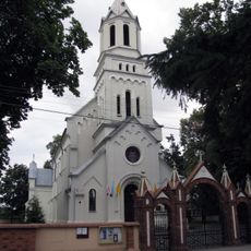
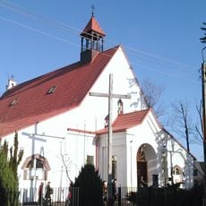
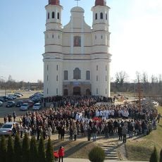
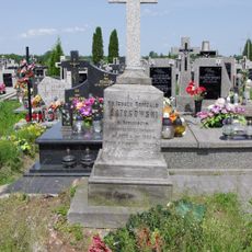
Gmina Zabrodzie, Rural municipality in Masovian Voivodeship, Poland
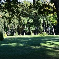
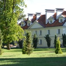
Gmina Zabrodzie is a rural municipality in Masovian Voivodeship comprising several villages and settlements connected by local roads. The area is characterized by open farmland and flat terrain typical of central-eastern Poland.
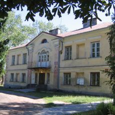
This municipality developed as an administrative district during modern Polish governance organization and has served as a local administrative center for its region. Its structure reflects the historical division of rural areas in this part of the country.
The area maintains rural traditions through regular community meetings and seasonal farm work that shape daily life across its villages. These customs show how generations have worked the land together in this region.
The municipality lies roughly 40 to 50 kilometers northeast of Warsaw and is accessible via local roads connecting its various villages. Traveling by car is the practical choice, as the area's road network serves as the primary way to move between settlements.
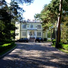
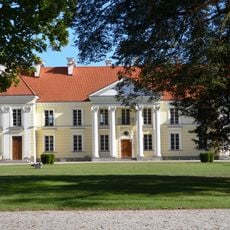
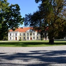
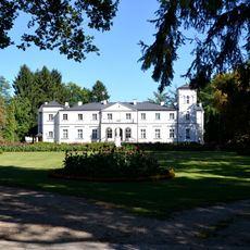
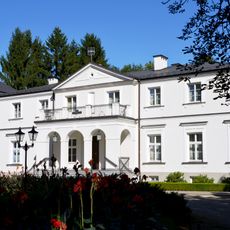
The territory includes several distinct villages such as Anastazew and Basinów, each preserving its own local identity and separate community structures. This patchwork of smaller settlements creates a region where various rural communities maintain their individual character while remaining connected.
Location: Wyszków County
Shares border with: Gmina Dąbrówka, Gmina Jadów, Gmina Tłuszcz, Gmina Wyszków
Website: http://zabrodzie.pl
GPS coordinates: 52.51028,21.41639
Latest update: December 10, 2025 20:09
Wodny tor przeszkód
5.6 km
Park miejski im. K. F. Wazy w Wyszkowie
9.4 km
Kościół św. Stanisława Biskupa w Postoliskach
7.7 km
Holy Trinity church in Niegów
1.7 km
Our Lady Queen of Poland Church in Wyszków Rybienko Leśne
8.1 km
Exaltation of the Holy Cross church in Dąbrówka
8.7 km
Our Lady of Fatima church in Tłuszcz
9.1 km
Kościół Świętej Rodziny w Wyszkowie
9.5 km
Plaża południowa
5.5 km
Kościół Najświętszej Maryi Panny Częstochowskiej w Wyszkowie
9.3 km
Postoliska Cemetery
7 km
Park
3.8 km
Willa Siewierzanka
7.7 km
Park
2.1 km
Park
8.2 km
Zespół willi Siewierzanka
7.7 km
Pałac, 3 Maja 67a w Wyszkowie
8.1 km
Palace in Wyszków
8.1 km
Pałac w Kręgach
7.3 km
Dwór w Głuchach
3.9 km
Dzwonnica w Niegowie
1.8 km
Zespół dworski
2 km
Dwór, Wierzbowa 1 w Niegowie
2 km
Pałac w Dębinkach
4.3 km
Zespół pałacowy, Pałacowa 1 w Dębinkach
4.3 km
Oficyna I
8.1 km
Leski Palace in Kręgi
7.3 km
Oficyna II
8.2 kmVisited this place? Tap the stars to rate it and share your experience / photos with the community! Try now! You can cancel it anytime.
Discover hidden gems everywhere you go!
From secret cafés to breathtaking viewpoints, skip the crowded tourist spots and find places that match your style. Our app makes it easy with voice search, smart filtering, route optimization, and insider tips from travelers worldwide. Download now for the complete mobile experience.
A unique approach to discovering new places❞
— Le Figaro
All the places worth exploring❞
— France Info
A tailor-made excursion in just a few clicks❞
— 20 Minutes