
Watorowo, village in Kuyavian-Pomeranian voivodeship in Poland
Location: Gmina Kijewo Królewskie
GPS coordinates: 53.30028,18.42528
Latest update: May 19, 2025 04:18
Landschaftsschutzpark Culm
4.1 km
Nature reserve Zbocza Płutowskie
3.5 km
Nature reserve Góra św. Wawrzyńca
4.2 km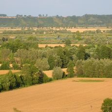
Rezerwat przyrody Płutowo
3.7 km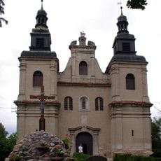
Kościół św. Barbary w Starogrodzie
3.5 km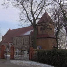
Kościół św. Wawrzyńca w Kijewie Królewskim
3.3 km
Saint Lawrence church in Kijewo Królewskie
3.3 km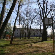
Park dworski
2.2 km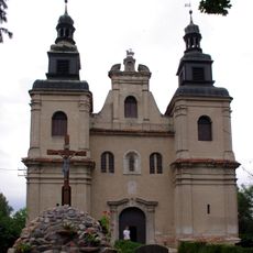
Saint Barbara church in Starogród
3.5 km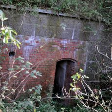
Chełmno Fort III
3.8 km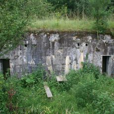
Infantry bunker IR-3 in Małe Czyste
3 km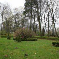
Park
2.6 km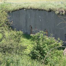
Infantry bunker UR-3 in Małe Czyste
4.7 km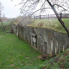
Infantry bunker IR-1 in Kiełp
2.5 km
Zespół pałacowy
2.6 km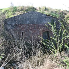
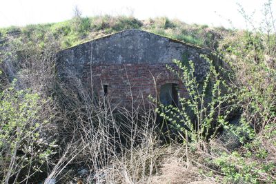
Bunkers in Watorowo
1.4 km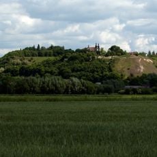
Ruiny zamku (Góra Zamkowa)
3.6 km
Ammunition bunker M-1 in Starogród
2.4 km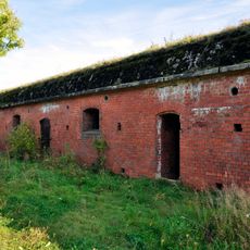
Chełmno Fort I
860 m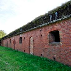
Chełmno Fort II
2.1 km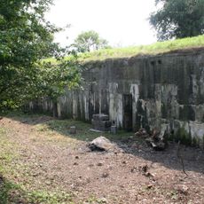
Infantry bunker IR-4 in Małe Czyste
4.9 km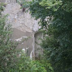
Bateria I (wg WUOZ - nr 3), przed 1910
4.1 km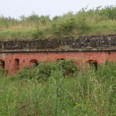
Infantry bunker UR-2 in Małe Czyste
3 km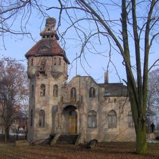
Palace in Kijewo Szlacheckie
2.7 km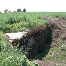
Ammunition bunker M-6 in Małe Czyste
3.5 km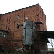
Młyn
2.5 km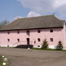
Granary in Płutowo
4 km
Ammunition bunker M-8 in Małe Czyste
4.4 kmReviews
Visited this place? Tap the stars to rate it and share your experience / photos with the community! Try now! You can cancel it anytime.
Discover hidden gems everywhere you go!
From secret cafés to breathtaking viewpoints, skip the crowded tourist spots and find places that match your style. Our app makes it easy with voice search, smart filtering, route optimization, and insider tips from travelers worldwide. Download now for the complete mobile experience.

A unique approach to discovering new places❞
— Le Figaro
All the places worth exploring❞
— France Info
A tailor-made excursion in just a few clicks❞
— 20 Minutes