Wyżyna Kielecka, Upland region in eastern Lesser Poland.
The Wyżyna Kielecka is an upland situated between the Pilica and Vistula rivers, with terrain varying from around 200 to 400 meters in elevation. The landscape alternates between gentler hills and steeper slopes, interspersed with rocky outcrops and different stone formations.
This region formed during the Paleozoic era millions of years ago through geological processes that created complex layers of different rock types. Over immense stretches of time, water and wind carved out the terrain, shaping the current landscape with its ridges and valleys.
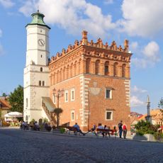
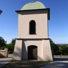
The region is home to several towns like Kielce and Ostrowiec Świętokrzyski, each keeping their local crafts and regional food traditions alive today. Visitors can see in the town centers how people have shaped their daily life around this highland landscape.
Several hiking trails run through different parts of the upland and provide access to natural reserves scattered across the region. The best time to explore is spring through fall, when the paths are dry and easy to walk.
At the heart of this upland region lie the Świętokrzyskie Mountains, where Łysica peak at about 612 meters stands as the highest point in the entire system. This mountain is notable not just for its height but also for the distinctive rock formations visible along its slopes.
The community of curious travelers
AroundUs brings together thousands of curated places, local tips, and hidden gems, enriched daily by 60,000 contributors worldwide.