Czuby Północne, Residential district in southwestern Lublin, Poland.
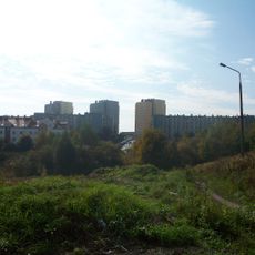
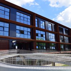
Czuby Północne is a residential district in southwestern Lublin comprising four separate neighborhoods: Błonie, Łęgi, Ruta, and Skarpa. The area contains a mix of apartment buildings, houses, and local shops that serve the daily needs of residents.
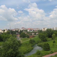
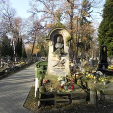
The district name dates from the 17th century and refers to the elevated areas between dry loess valleys where a farm called Baki vel Czuby was established. This agricultural heritage remains reflected in the district's name today.
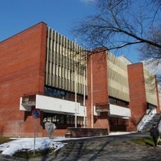
The district operates through regular council meetings at Kaczeńcowa Street, where residents participate in discussions about community initiatives and local development plans.
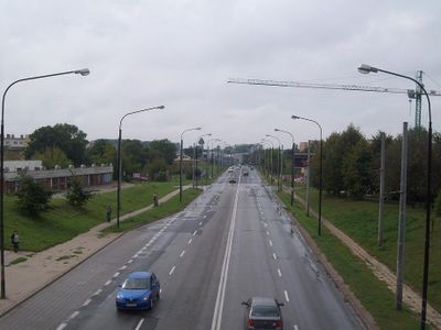
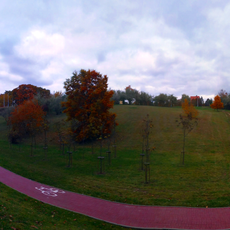
The district extends northward along Ułanów Street and Armii Krajowej Street, while John Paul II Street marks its southern boundary. Pedestrian paths connect the neighborhoods, and bus routes provide transport links to other parts of the city.
With 26,681 residents recorded in 2018, this district ranks as the second most populated area in Lublin with 11,600 inhabitants per square kilometer.
Location: Lublin
Shares border with: Węglin (Lublin), Konstantynów (Lublin), Rury, Za Cukrownią, Czuby Południowe
Website: http://lublin.eu/rady-dzielnic/dzielnice/czuby-polnocne
GPS coordinates: 51.22917,22.52500
Latest update: December 13, 2025 12:21
Arena Lublin
2.3 km
Osiedle Poręba
1.2 km
Czuby Południowe
648 m
Under the Clock
2.5 km
The 700 Years of Lublin Bridge
2.3 km
Gray Office Park
1.1 km
Cerkiew pw. Świętych Niewiast Niosących Wonności w Lublinie
2.4 km
Holy Cross church in Lublin
2.4 km
Lublin - Zachód deanery
815 m
Water tower at Aleje Racławickie in Lublin
2.4 km
UMCS Library
2.2 km
Ławeczka Henryka Raabego w Lublinie
2.2 km
Biblioteka Politechniki Lubelskiej
1.9 km
John Paul II Park in Lublin
839 m
Muzeum Uniwersytetu Marii Curie-Skłodowskiej w Lublinie
2.2 km
Lipowa Street cemetery, Lublin
2.3 km
Orthodox cemetery in Lublin, Lipowa Street
2.4 km
Roman Catholic cemetery in Lublin, Lipowa Street
2.2 km
Zespół cmentarzy miejskich, Lipowa 15 w Lublinie
2.2 km
Military cemetery in Lublin, Lipowa Street
2.3 km
Rezerwat przyrody Stasin
2.2 km
Former sugar refinery in Lublin
2 km
Rafineria
2.1 km
Budynek zarządu cukrowni
2.2 km
Pałacyk dyrektora, Krochmalna 13c w Lublinie
2 km
Schron I (z czasu II wojny światowej)
1.9 km
Pawilon sklepowy Stowarzyszenia Zgoda
2.3 km
Park przy pałacyku dyrektora
1.9 kmVisited this place? Tap the stars to rate it and share your experience / photos with the community! Try now! You can cancel it anytime.
Discover hidden gems everywhere you go!
From secret cafés to breathtaking viewpoints, skip the crowded tourist spots and find places that match your style. Our app makes it easy with voice search, smart filtering, route optimization, and insider tips from travelers worldwide. Download now for the complete mobile experience.
A unique approach to discovering new places❞
— Le Figaro
All the places worth exploring❞
— France Info
A tailor-made excursion in just a few clicks❞
— 20 Minutes