
Park osiedlowy, park in Rybnik, Poland
Location: Rybnik
Inception: 1929
Address: Barbary / Paderewskiego
GPS coordinates: 50.05909,18.49441
Latest update: August 18, 2025 16:40
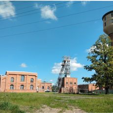
Heritage coal mine Ignacy
2 km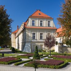
Rybnik Castle, now District Court
5 km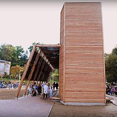
Graduation Tower in Radlin
881 m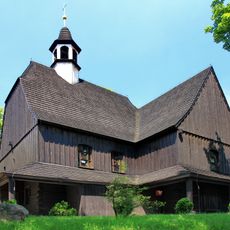
Corpus Christi church in Jankowice
4 km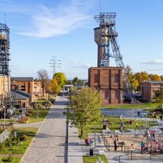
Zabytkowa Kopalnia Ignacy w Rybniku
2 km
Church of the Assumption in Radlin-Biertułtowy
1.7 km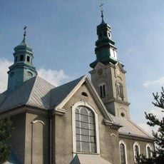
Kościół św. Marii Magdaleny w Wodzisławiu Śląskim
4.4 km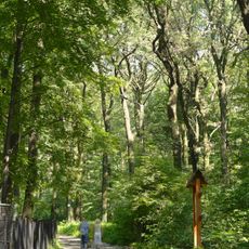
Park Leśny im. Powstańców Śląskich w Radlinie
2.1 km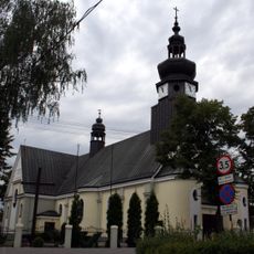
Sacred Heart of Jesus church in Rybnik-Niedobczyce
940 m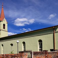
Lutheran Church in Rybnik
5 km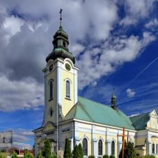
Saint Thérèse of Lisieux church in Rybnik
4.1 km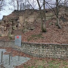
Skałka
4.7 km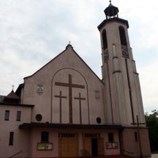
Kościół św. Józefa Robotnika w Rybniku
4.9 km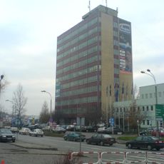
Biurowiec Millenium
4.8 km
Edukatorium Juliusz
5 km
Budynek interny I
5 km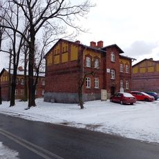
Workers housing estate complex in Rybnik
125 m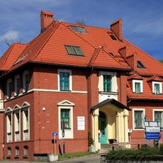
NFZ building in Rybnik
5 km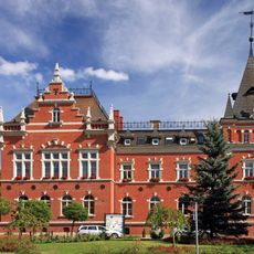
Powiat office in Rybnik
5 km
7 Barbary Street in Rybnik
318 m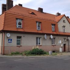
9 Barbary Street in Rybnik
275 m
Kostnica
4.9 km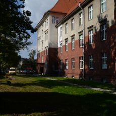
Pawilon główny
5 km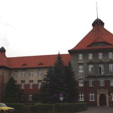
II City Hospital in Rydułtowy
5 km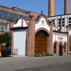
Weighing house in Rydułtowy
4.3 km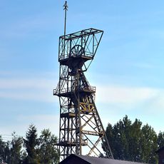
Wieża szybowa
5 km
Budynek oddziału dermatologicznego dawnego szpitala w Rybniku
5 km
Main building of the former hospital in Rybnik
5 kmReviews
Visited this place? Tap the stars to rate it and share your experience / photos with the community! Try now! You can cancel it anytime.
Discover hidden gems everywhere you go!
From secret cafés to breathtaking viewpoints, skip the crowded tourist spots and find places that match your style. Our app makes it easy with voice search, smart filtering, route optimization, and insider tips from travelers worldwide. Download now for the complete mobile experience.

A unique approach to discovering new places❞
— Le Figaro
All the places worth exploring❞
— France Info
A tailor-made excursion in just a few clicks❞
— 20 Minutes