
Park, XVII/XVIII, park in Strużyna, Lower Silesian Voivodeship, Poland
Location: Strużyna, Lower Silesian Voivodeship
Inception: 19 century
GPS coordinates: 50.70612,17.18505
Latest update: August 13, 2025 02:23
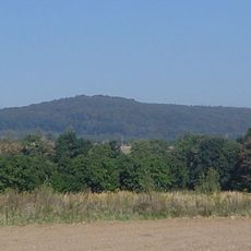
Rummelsberg
5.3 km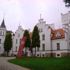
Schloss Zülzhoff
8.6 km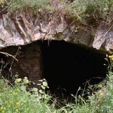
Konary Castle
6.2 km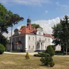
Palace in Konary
6.4 km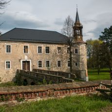
Prieborn Castle
2.9 km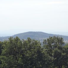
Kalinkeberg
7.6 km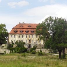
Palace in Żeleźnik
4 km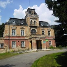
Łojowice Palace
3.9 km
Siemisławice
3.1 km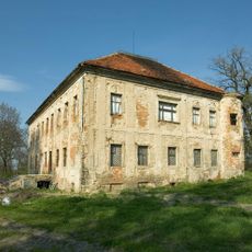
Wyszonowice Palace
8.3 km
Saint Francis of Assisi church in Jutrzyna
7.7 km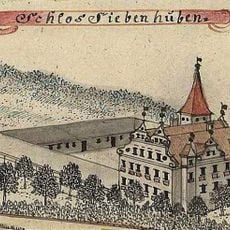
Schloss Siebenhufen
3.5 km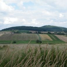
Burgruine Rummelsberg
5.3 km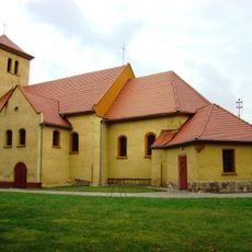
Kościół Matki Bożej Królowej Świata i św. Marcina w Gałązczycach
7.1 km
Cultural heritage monuments in gmina Wiązów
3.9 km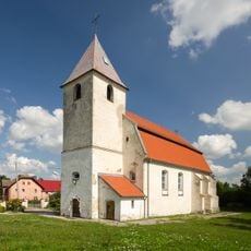
Our Lady of the Rosary church in Gnojna
7.7 km
Dwór w Strużynie
41 m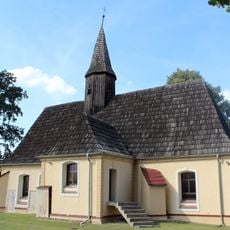
Saint Anthony of Padua church in Jeszkotle
3.9 km
Kościół Świętej Trójcy w Przewornie
3.2 km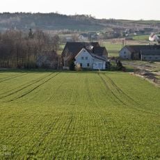
Grabiny, Lower Silesian Voivodeship
7.5 km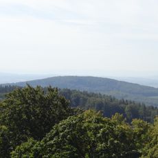
Wyżna
8.2 km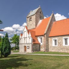
Saint Ursula church in Kowalów
7.1 km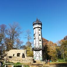
Ruiny schroniska na Gromniku
5.3 km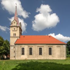
Kościół ewangelicki, ob. rzym.-kat. Matki Boskiej Loretańskiej
3.9 km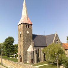
Saint Anthony of Padua church in Jegłowa
3.6 km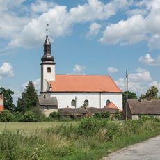
Holy Trinty church in Przeworno
3.2 km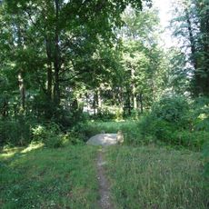
Park
4.1 km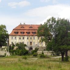
Pałac w Żeleźniku
3.9 kmReviews
Visited this place? Tap the stars to rate it and share your experience / photos with the community! Try now! You can cancel it anytime.
Discover hidden gems everywhere you go!
From secret cafés to breathtaking viewpoints, skip the crowded tourist spots and find places that match your style. Our app makes it easy with voice search, smart filtering, route optimization, and insider tips from travelers worldwide. Download now for the complete mobile experience.

A unique approach to discovering new places❞
— Le Figaro
All the places worth exploring❞
— France Info
A tailor-made excursion in just a few clicks❞
— 20 Minutes