
Młyn, watermill in Strzelin, Lower Silesian Voivodeship, Poland
Location: Strzelin
Inception: 1864
Part of: Zespół młyna
GPS coordinates: 50.77908,17.07298
Latest update: April 10, 2025 23:25
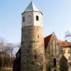
St. Godehard's Rotunda, Strzelin
260 m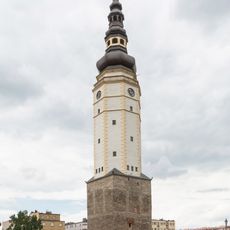
Town Hall Tower in Strzelin
229 m
Exaltation of the Holy Cross church in Strzelin
270 m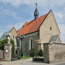
Parafia Ewangelicko-Reformowana w Strzelinie
451 m
Mother of Christ and Saint John the Apostle and Evangelist Church in Strzelin
488 m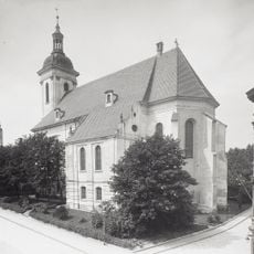
Church of Saint Michael
155 m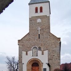
Church of the Visitation in Biały Kościół
5.9 km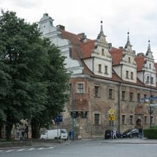
House of the Dukes of Brzeg in Strzelin
262 m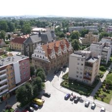
Market Square in Strzelin
233 m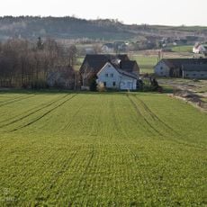
Grabiny, Lower Silesian Voivodeship
4.1 km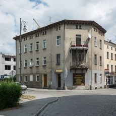
5 Wodna Street in Strzelin
107 m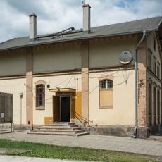
Budynek telegrafu
1.1 km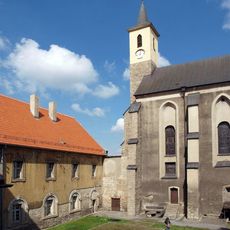
Monastery of Sisters of Mercy of St. Borromeo in Strzelin
285 m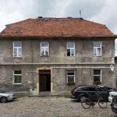
14 Świętego Floriana Street in Strzelin
106 m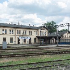
Zespół dworca kolejowego w Strzelinie
1.1 km
Post office in Strzelin
525 m
11 Brzegowa Street in Strzelin
212 m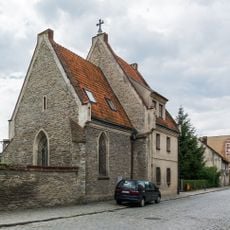
Hospital chapel in Strzelin
61 m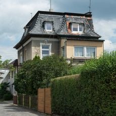
17b Brzegowa Street in Strzelin
268 m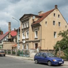
15 Brzegowa Street in Strzelin
230 m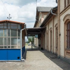
3 zejścia do tunelu
1.1 km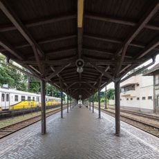
Wiata peronowa II
1.1 km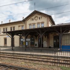
Wiata peronowa I
1.1 km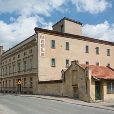
Zespół młyna
11 m
Dom mieszkalny
16 m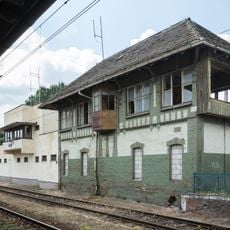
Budynek nastawni
1.1 km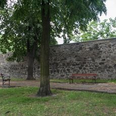
Zespół murów obronnych (pozostałości), ok. 1300
103 m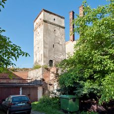
Baszta Prochowa, ok. 1300
103 mReviews
Visited this place? Tap the stars to rate it and share your experience / photos with the community! Try now! You can cancel it anytime.
Discover hidden gems everywhere you go!
From secret cafés to breathtaking viewpoints, skip the crowded tourist spots and find places that match your style. Our app makes it easy with voice search, smart filtering, route optimization, and insider tips from travelers worldwide. Download now for the complete mobile experience.

A unique approach to discovering new places❞
— Le Figaro
All the places worth exploring❞
— France Info
A tailor-made excursion in just a few clicks❞
— 20 Minutes