
Układ urbanistyczny, nationaal monument in Kęty, Polen
Location: Kęty
Inception: 13 century
GPS coordinates: 49.88339,19.22143
Latest update: May 24, 2025 05:41
Quarry in Kozy
7.3 km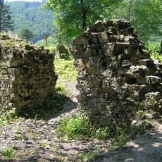
Wołek Castle ruins
6 km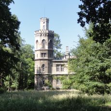
Palace in Bulowice
2.8 km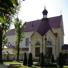
Franciscan church and monastery in Kęty
497 m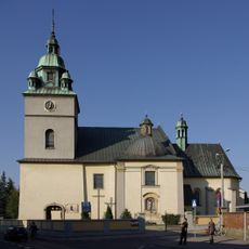
Saints Margaret and Catherine of Alexandria church in Kęty
156 m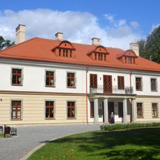
Palace in Kozy
7 km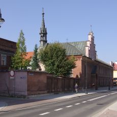
Klasztor Klarysek od Wieczystej Adoracji Najświętszego Sakramentu w Kętach
214 m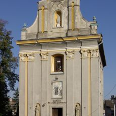
John Cantius chapel in Kęty
131 m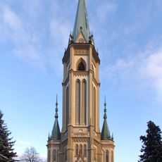
Parish church of Wilamowice
6.1 km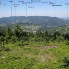
Bujakowski Groń
6.6 km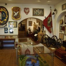
Aleksander Kłosiński Museum in Kęty
35 m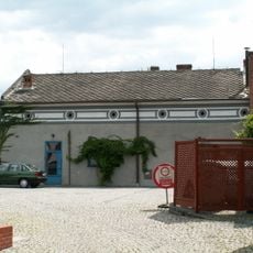
Anszei Emes Synagogue in Kęty
121 m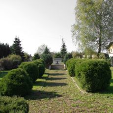
Jewish cemetery in Kęty
1.8 km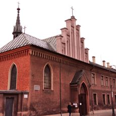
Kościół Trójcy Świętej w Kętach
231 m
Kościół Niepokalanego Poczęcia Najświętszej Maryi Panny w Kętach
496 m
Manor house complex in Kozy
6.7 km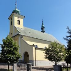
Kościół parafialny św. Wojciecha, Bielska 67 w Bulowicach
4.5 km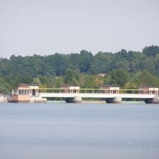
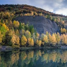
Zbiornik Czaniecki
6.1 km
Sheepfold in Kozy
6.9 km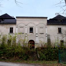
Manor in Czaniec
2.6 km
Klasztor Klarysek od wieczystej Adoracji
207 m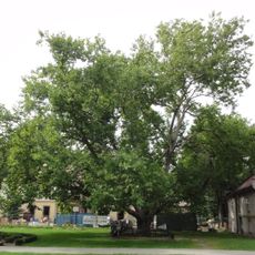
Palace park in Kozy
7 km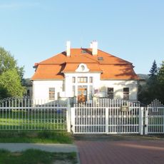
Manor house in Kozy
6.7 km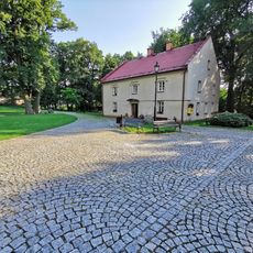
Western outbuilding at the palace in Kozy
7.1 km
Plane in Kozy
7 km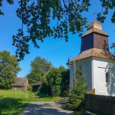
Saint Urban chapel in Porąbka
6.9 km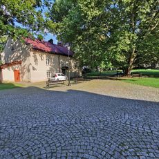
Eastern outbuilding at the palace in Kozy
7 km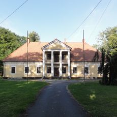
Manor house in Kobiernice
3.1 kmReviews
Visited this place? Tap the stars to rate it and share your experience / photos with the community! Try now! You can cancel it anytime.
Discover hidden gems everywhere you go!
From secret cafés to breathtaking viewpoints, skip the crowded tourist spots and find places that match your style. Our app makes it easy with voice search, smart filtering, route optimization, and insider tips from travelers worldwide. Download now for the complete mobile experience.

A unique approach to discovering new places❞
— Le Figaro
All the places worth exploring❞
— France Info
A tailor-made excursion in just a few clicks❞
— 20 Minutes