Układ przestrzenny
Location: Niemirów
Inception: 16 century
GPS coordinates: 52.28480,23.16187
Latest update: October 27, 2025 09:16
Podlasie Bug Gorge Landscape Park
5.9 km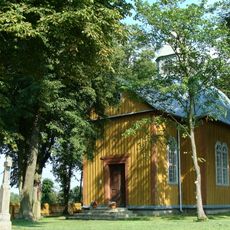
Stary Bubel
3.9 km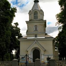
Saint Anthony of Padua church in Gnojno
1.4 km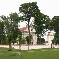
Kościół św. Stanisława Biskupa w Niemirowie
261 m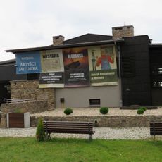
Muzeum w Mielniku
9.2 km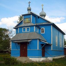
Orthodox church of the Dormition of Our Lady in Panikvy
5.6 km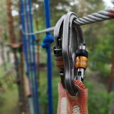
Park Linowy
8 km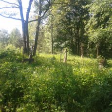
Cmentarz unicki, później prawosławny
1.8 km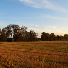
Park z aleją dojazdową
8.5 km
Obora
8.4 km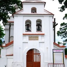
Saint Stanislaus church in Niemirów
261 m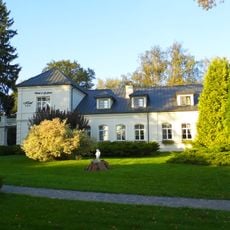
Zespół dworski
8.4 km
Dwór
8.4 km
Stacja II
7.8 km
Wagoniki z dawnych zakładów kredowych
9.2 km
Stacja I
7.8 km
Stacja V
8 km
Stacja VI
8 km
Stacja VIII
8.1 km
Góra woskriesieńska
9.2 km
Bunkier-przebieralnia
5.5 km
Stanica Harcerska w Gnojnie
2.3 km
Wieża żyrafa
1.9 km
LandArt
6.2 km
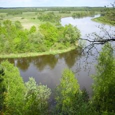
Scenic viewpoint
1.1 km
Punkt widokowy na kopalnie kredy
9.1 km
Zakole Bugu
2.2 km
Góra Rowska
8.8 kmReviews
Visited this place? Tap the stars to rate it and share your experience / photos with the community! Try now! You can cancel it anytime.
Discover hidden gems everywhere you go!
From secret cafés to breathtaking viewpoints, skip the crowded tourist spots and find places that match your style. Our app makes it easy with voice search, smart filtering, route optimization, and insider tips from travelers worldwide. Download now for the complete mobile experience.

A unique approach to discovering new places❞
— Le Figaro
All the places worth exploring❞
— France Info
A tailor-made excursion in just a few clicks❞
— 20 Minutes