
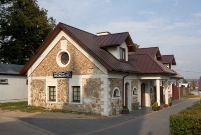
Budynek gospodarczy, building in Sokółka, Poland
Location: Sokółka
Inception: 19 century
Address: Grodzieńska
GPS coordinates: 53.40786,23.50480
Latest update: March 10, 2025 22:04
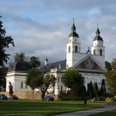
Saint Anthony of Padua church in Sokółka
58 m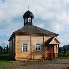
Bohoniki Mosque
6.1 km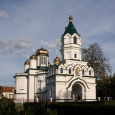
Saint Alexander Nevsky Orthodox church in Sokółka
676 m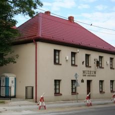
Muzeum Ziemi Sokólskiej
606 m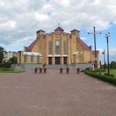
Corpus Christi church in Sokółka
1.7 km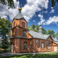
Orthodox church in Samogród
13.1 km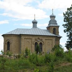
Orthodox cemetery chapel in Sokółka
474 m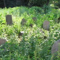
Jewish cemetery in Sokółka
1.1 km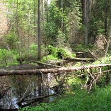
Nature reserve Międzyrzecze
15 km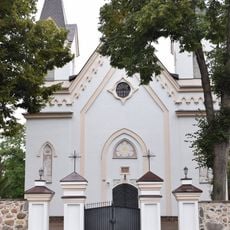
Divine Providence Church in Kuźnica
15.1 km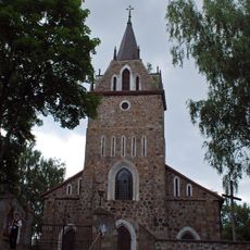
Our Lady of Częstochowa and Saint Casimir church in Majewo Kościelne
14.6 km
Nature reserve Budzisk
12.9 km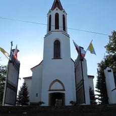
Kościół Najświętszego Serca Jezusowego w Starej Rozedrance
11.8 km
Kościół św. Antoniego w Sokółce
58 m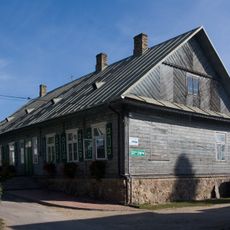
Plebania, tzw. STARA
60 m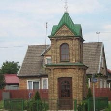
Thanksgiving Chapel in Sokółka
625 m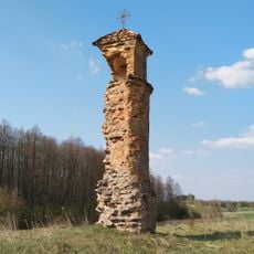
Boundary marker in Wołkusze
9.6 km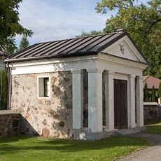
Kaplica w Sokółce
82 m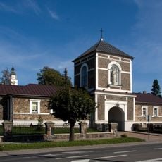
Budynek bramny
129 m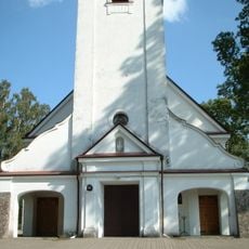
Holy Trinity and Saint Dominic church in Klimówka
12.6 km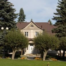
Plebania, tzw. NOWA
93 m
Układ urbanistyczny, XVII/XVIII
522 m
Grodzieńska 8
490 m
Grodzieńska 10
469 m
Dom, XVIII/XIX
621 m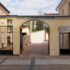
Mur z bramą, XVIII/XIX
632 m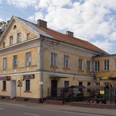
1 Piłsudskiego Street in Sokółka
609 m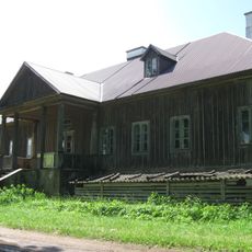
Dwór
11.3 kmVisited this place? Tap the stars to rate it and share your experience / photos with the community! Try now! You can cancel it anytime.
Discover hidden gems everywhere you go!
From secret cafés to breathtaking viewpoints, skip the crowded tourist spots and find places that match your style. Our app makes it easy with voice search, smart filtering, route optimization, and insider tips from travelers worldwide. Download now for the complete mobile experience.

A unique approach to discovering new places❞
— Le Figaro
All the places worth exploring❞
— France Info
A tailor-made excursion in just a few clicks❞
— 20 Minutes