
Historyczny układ urbanistyczny
Location: Koźminek, Greater Poland Voivodeship
Inception: 14 century
GPS coordinates: 51.80819,18.34225
Latest update: May 12, 2025 13:15
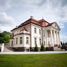
Palace in Tłokinia Kościelna
12.9 km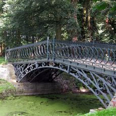
Most żelazny w Opatówku
12.2 km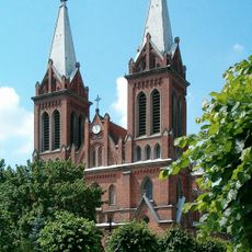
Saint Dorothy and Sacred Heart church in Opatówek
12 km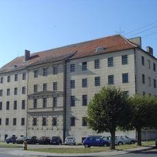
Muzeum Historii Przemysłu w Opatówku
11.8 km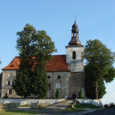
Saints Martin and Stanislaus church in Goszczanów
11.4 km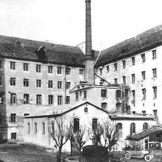
Fiedler Manufacture in Opatówek
11.7 km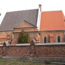
Saint Nicholas church in Staw
11.4 km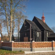
Saint Lawrence church in Kosmów
10.2 km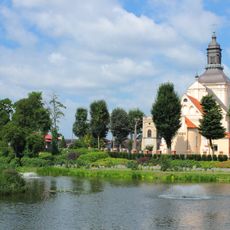
Saints John the Baptist and John the Evangelist church in Koźminek
1.2 km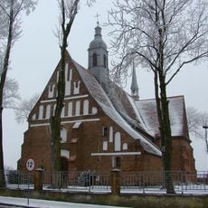
Saint Michael Archangel church in Rajsko
6.6 km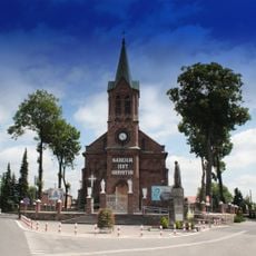
All Saints church in Lisków
4.8 km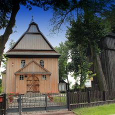
Immaculate Conception church in Strzałków
8.1 km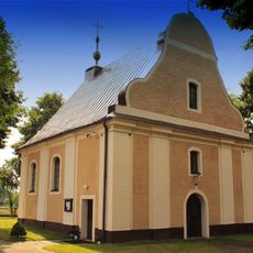
Saint Margaret church in Gać Kaliska
5.8 km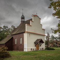
Saint Michael church in Zborów
10.7 km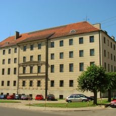
Museum of Industrial History
11.7 km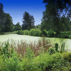
Park in Oszczeklin
5.4 km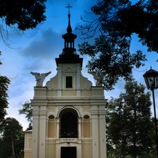
Cemetery in Złotniki
2.5 km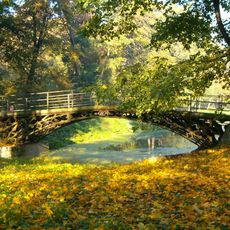
Park
12.2 km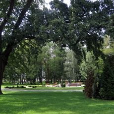
Park przypałacowy w Tłokini Kościelnej
12.9 km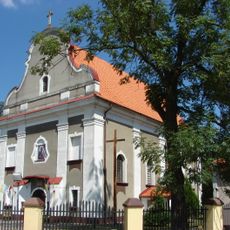
Kościół św. Benedykta w Chlewie
10.6 km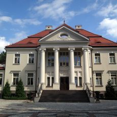
Pałac w Tłokini Kościelnej
12.9 km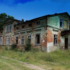
Dwór w Pietrzykowie
3.9 km
42 Blizińskiego Street in Lisków
4.8 km
44a Blizińskiego Street in Lisków
4.8 km
96 Blizińskiego Street in Lisków
4 km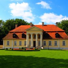
Dwór, Andrzeja Mielęckiego 4a w Koźminku
1.3 km
Kaplica ewangelicka (ze szkołą i mieszkaniem kantora), Marii Konopnickiej 13 w Koźminku
1 km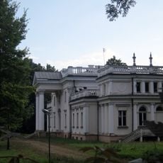
Pałac w Marchwaczu
10 kmVisited this place? Tap the stars to rate it and share your experience / photos with the community! Try now! You can cancel it anytime.
Discover hidden gems everywhere you go!
From secret cafés to breathtaking viewpoints, skip the crowded tourist spots and find places that match your style. Our app makes it easy with voice search, smart filtering, route optimization, and insider tips from travelers worldwide. Download now for the complete mobile experience.

A unique approach to discovering new places❞
— Le Figaro
All the places worth exploring❞
— France Info
A tailor-made excursion in just a few clicks❞
— 20 Minutes