
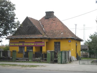
Dom przycmentarny, house in Radzymin, Poland
Location: Radzymin
Inception: 1932
Address: Aleja Jana Pawła II 64
GPS coordinates: 52.40062,21.16893
Latest update: March 13, 2025 08:51
Fort Beniaminów
6.3 km
Holy Trinity church in Kobyłka
7 km
Military Cemetery (Cemetery of the Fallen 1920) in Radzymin
117 m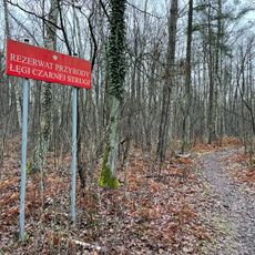
Nature reserve Łęgi Czarnej Strugi
6.9 km
Kobyła Niepodległości
7.6 km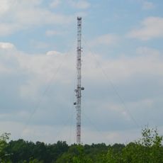
Maszt nadawczy w Markach
5.6 km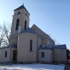
Saint Andrew Bobola church in Marki
4.9 km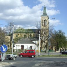
Church of the Transfiguration in Radzymin
2.1 km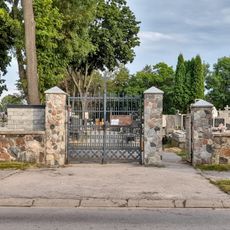
Cemetery in Radzymin
2.4 km
Nature reserve Puszcza Słupecka
6.9 km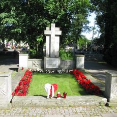
Cmentarz rzym.-kat. , Aleja Jana Pawła II 62 w Radzyminie
117 m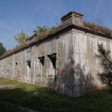
Fort Beniaminów
6.4 km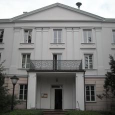
19 Konstytucji 3 Maja street in Radzymin
2.1 km
Cmentarz rzym.-kat. w Kobyłce
7.5 km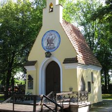
Kaplica w Radzyminiu
77 m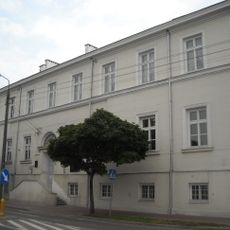
C.K. Norwid Lyceum in Radzymin
2 km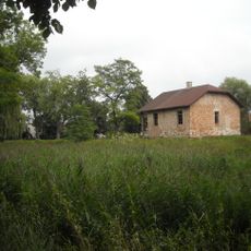
Pozostałości zespołu pałacowego
1.6 km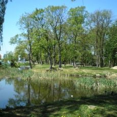
Park pałacowy
1.6 km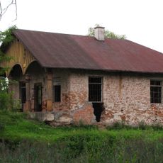
Dom administratora
1.6 km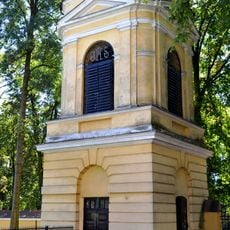
Bell tower of church of the Transfiguration in Radzymin
2.1 km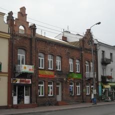
4 Konstytucji 3 Maja street in Radzymin
2 km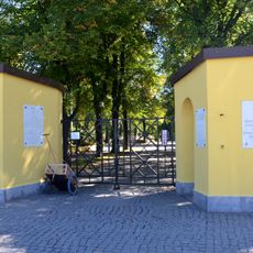
Brama
38 m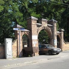
Ogrodzenie z bramą
7.4 km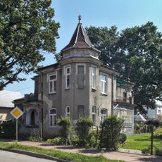
3 Batorego Street in Radzymin
2 km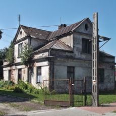
10 Daszyńskiego Street in Radzymin
1.9 km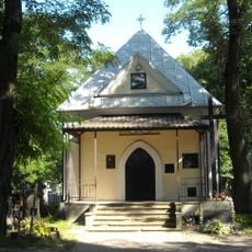
Kaplica grobowa Matuszewskich w Kobyłce
7.5 km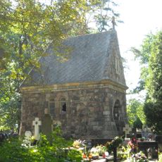
Kaplica grobowa Orszaghów w Kobyłce
7.5 km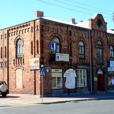
6 Konstytucji 3 Maja Street in Radzymin
2 kmReviews
Visited this place? Tap the stars to rate it and share your experience / photos with the community! Try now! You can cancel it anytime.
Discover hidden gems everywhere you go!
From secret cafés to breathtaking viewpoints, skip the crowded tourist spots and find places that match your style. Our app makes it easy with voice search, smart filtering, route optimization, and insider tips from travelers worldwide. Download now for the complete mobile experience.

A unique approach to discovering new places❞
— Le Figaro
All the places worth exploring❞
— France Info
A tailor-made excursion in just a few clicks❞
— 20 Minutes