Transylvanian Plain, Historical territory in central Romania.
The Transylvanian Plain extends between the Someșul Mare and Someșul Mic rivers in the north and the Mureș River in the south of Romania. The territory divides into a hilly northeastern section and flatter southwestern area, each supporting different land uses and settlement patterns.
Hungarian tribes established control over the territory in the late 9th century, marking a major turning point for the region. This occupation shaped the area's character for centuries to come.
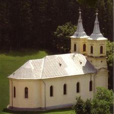
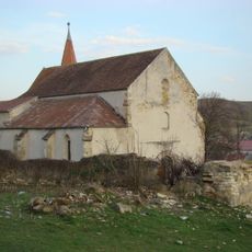
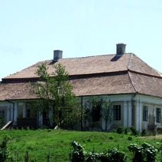
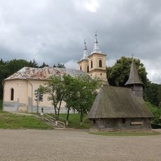
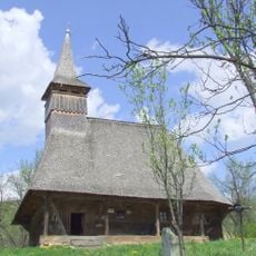
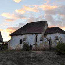
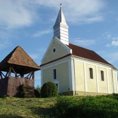
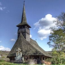
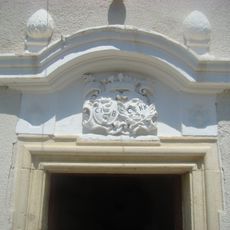
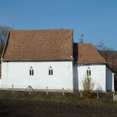
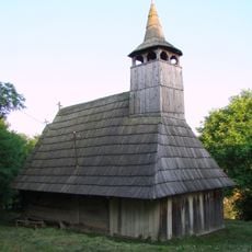
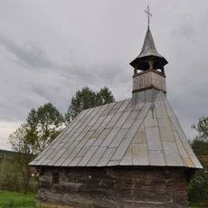
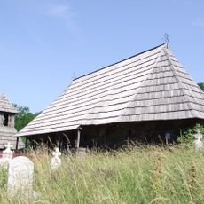
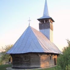
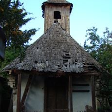
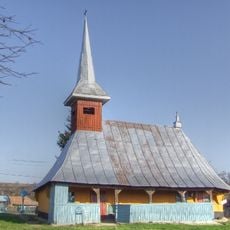
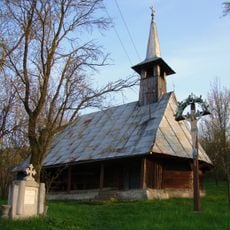
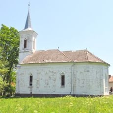
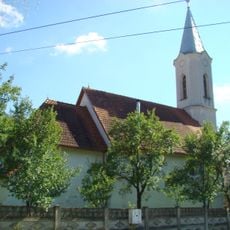
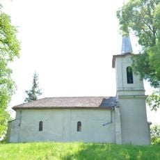
The region displays a mix of Romanian and Hungarian settlements, with Reformed churches and medieval fortifications dotting the landscape. These structures reflect centuries of different communities living and building alongside each other.
The region is best explored by keeping its two distinct sections in mind: the northeastern hills and the southwestern flatlands. Travelers should choose routes based on which landscape type interests them, as each offers different scenery and settlement patterns.
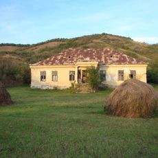
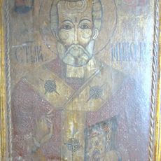
Former salt-mining towns like Sic preserve medieval architecture and craftsmanship traditions that reflect both cultural heritage streams of the region. These historical extraction centers reveal how economic activities once shaped settlement patterns and local life.
The community of curious travelers
AroundUs brings together thousands of curated places, local tips, and hidden gems, enriched daily by 60,000 contributors worldwide.