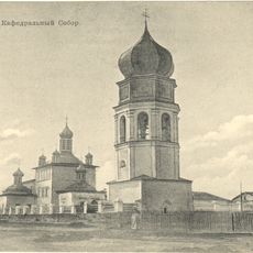
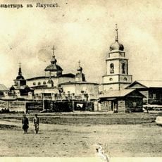
Megino-Kangalassky District, Municipal district in central Sakha Republic, Russia.
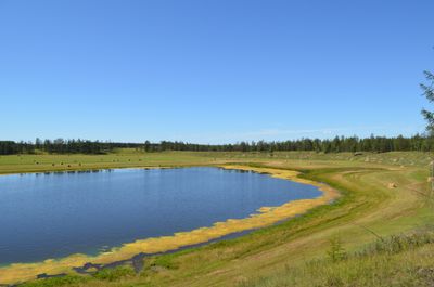
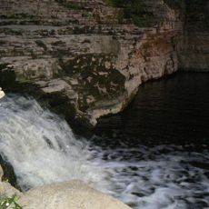
The Megino-Kangalassky District is a municipal area in central Sakha Republic characterized by diverse natural features across a large territory. Mountains, rivers, and extensive forests shape the landscape, with the Lena River forming a significant geographical element throughout the region.
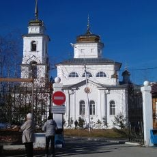
The district was established in 1930 through the merger of two smaller administrative areas. This consolidation created the current territorial structure with Mayya as its administrative center.
The population of 31,278 residents includes a predominant Yakut community at 91.4%, followed by Russian, Evenk, and Uzbek ethnic groups.
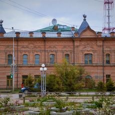
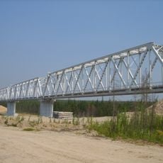
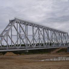
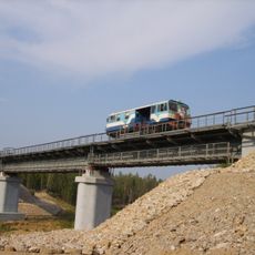
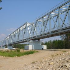
The area contains multiple small settlements, with Nizhny Bestyakh serving as the primary transport hub. Regional road networks connect these communities, providing the main routes for local travel and access.
Mount Suullar Myraan near the Suola River marks a location where several major waterways converge. This geographical point is of note to those interested in the natural boundaries and flow patterns of the region.
The community of curious travelers
AroundUs brings together thousands of curated places, local tips, and hidden gems, enriched daily by 60,000 contributors worldwide.