
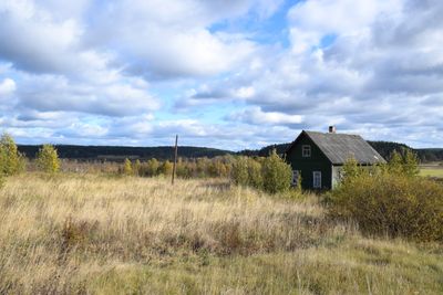
Otsanlahti, human settlement in Kurkiyoki, Lakhdenpokhsky District, Republic of Karelia, Russia
Location: Kurkiyokskoye rural settlement
GPS coordinates: 61.32040,29.94090
Latest update: March 10, 2025 22:09
Yastrebinoye Lake
21.4 km
Kojonsaari
10.1 km
Sorolansaari
24.3 km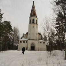
Lumivaara Lutheran Church
16.5 km
Tervu
11.8 km
Lahdenpohja
25.9 km
Zarechnaya 4 (Kurkijoki)
3.8 km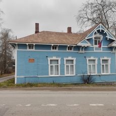
Здание банка (Куркиёки)
3.5 km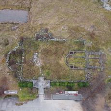
Kirkkomäki
3.7 km
Церковно-приходская школа (Лахденпохья)
25.7 km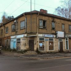
Дом жилой с магазинами (Лахденпохья)
26 km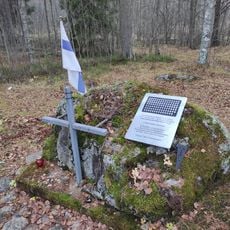
Кладбище финских воинов (Лумиваара)
16.5 km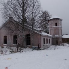
Jaakkima depot
24.2 km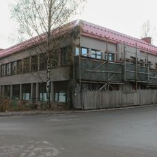
Lahdenpohja hotel
26.1 km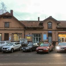
Lahdenpohja post station
26.1 km
Жилой дом при станции (Лахденпохья)
24.2 km
Дом жилой (усадьба «Андерсиненмяки») (Куркиёки)
3.9 km
Lahdenpohja shop
26.1 km
Taskinen house
23.3 km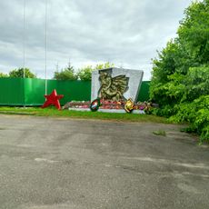
Братская могила советских воинов (Куркиёки)
3.6 km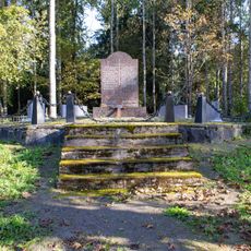
Finnish military cemetery
17.1 km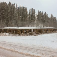
Koulutilan navetta
3.8 km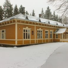
Zarechnaya 11
4 km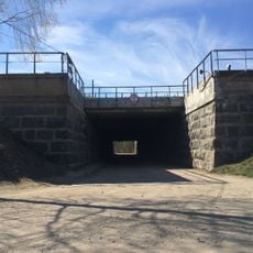
Железнодорожный путепровод (Элисенваара)
14 km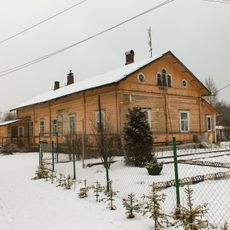
Kulikovo railway barracks
17.6 km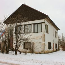
Hiitola administration building
16.2 km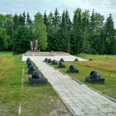
WWII memorial in Ihala
19.9 km
Lakhdenpokhsky district hospital
26 kmReviews
Visited this place? Tap the stars to rate it and share your experience / photos with the community! Try now! You can cancel it anytime.
Discover hidden gems everywhere you go!
From secret cafés to breathtaking viewpoints, skip the crowded tourist spots and find places that match your style. Our app makes it easy with voice search, smart filtering, route optimization, and insider tips from travelers worldwide. Download now for the complete mobile experience.

A unique approach to discovering new places❞
— Le Figaro
All the places worth exploring❞
— France Info
A tailor-made excursion in just a few clicks❞
— 20 Minutes