
下亚布洛奇内农村居民点, human settlement in Kotelnikovsky District, Volgograd Oblast, Russia
Location: Kotelnikovsky District
Capital city: Nizhneyablochny
GPS coordinates: 47.84750,43.09944
Latest update: March 3, 2025 08:47
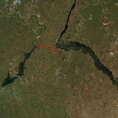
Volga–Don Canal
112 km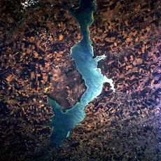
Tsimlyansk Reservoir
19.9 km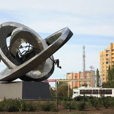
Peaceful Atom
76.3 km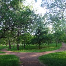
Volgodonsk Arboretum
81.4 km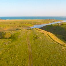
Цимлянск (заказник)
40.7 km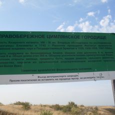
Правобережное Цимлянское городище
72 km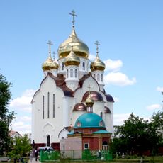
Cathedral of the Nativity, Volgodonsk
75.5 km
Парк Перемоги (Волгодонськ)
80.2 km
Karpovskoye Vodokhranilishche
99.4 km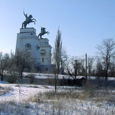
Cossacks
80.9 km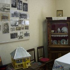
Museum of Local History of Volgodonsk District
103.5 km
St. Nicholas' Church, Tsimlyansk
78.4 km
Volgodonsk Ecological and Historical Museum
80.2 km
Spine
127.6 km
Инга (разъезд)
119.1 km
Бекрен исемендәге Изге Николай монастыры
104.9 km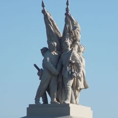
Connection of fronts monument
95.6 km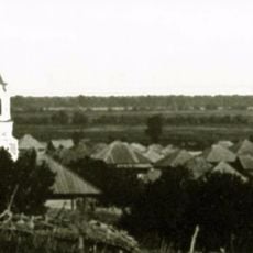
Богоявленская церковь (Кумшацкая)
84.1 km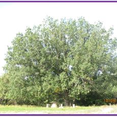
Дуб черешчатый (Ростовская область)
118.3 km
Цимлянский районный краеведческий музей
77.5 km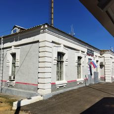
Железнодорожный вокзал станции Канальная (бывшая Тундутово)
115.1 km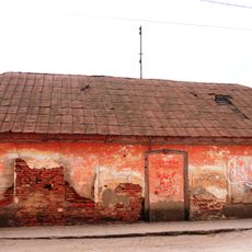
House
130.5 km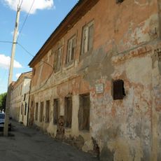
Distillery
130.5 km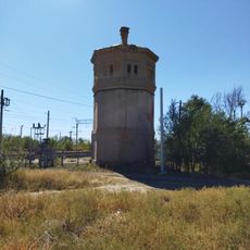
Водонапорная башня станции Канальная (бывшая Тундутово)
115.2 km
Port Volgodonsk
78.3 km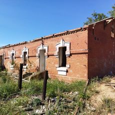
Residential buildings
115 km
Yesaulovskiy Aksay
92.2 km
Bereslavskoye Vodokhranilishche
112.8 kmReviews
Visited this place? Tap the stars to rate it and share your experience / photos with the community! Try now! You can cancel it anytime.
Discover hidden gems everywhere you go!
From secret cafés to breathtaking viewpoints, skip the crowded tourist spots and find places that match your style. Our app makes it easy with voice search, smart filtering, route optimization, and insider tips from travelers worldwide. Download now for the complete mobile experience.

A unique approach to discovering new places❞
— Le Figaro
All the places worth exploring❞
— France Info
A tailor-made excursion in just a few clicks❞
— 20 Minutes