捷捷列维亚特卡农村居民点

Log in to your account

AroundUs is a community-driven map of interesting places, built by curious explorers like you. It grows with every review, story, and photo you share.
Connect to save your favorite spots, contribute locations, and create personalized routes.
By continuing, you accept our Terms and Conditions and our Privacy Policy

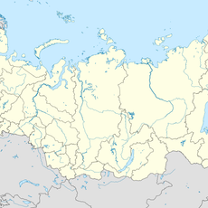
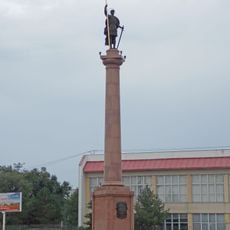
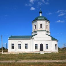
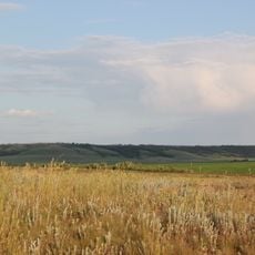
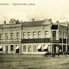
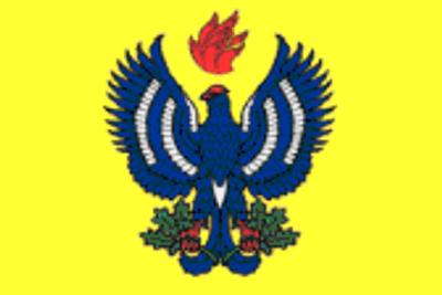
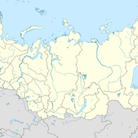
捷捷列维亚特卡农村居民点, human settlement in Zhirnovsky District, Volgograd Oblast, Russia

Location: Zhirnovsky District

Capital city: Teterevyatka

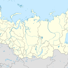
GPS coordinates: 50.66444,45.13083

Latest update: March 22, 2025 15:45
Around this place
Show the full map
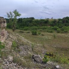
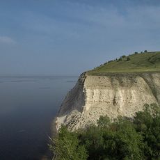
Stepan Razin Cliff
Russian Federation

Stepan Razin Cliff

37.8 km
Petrov Val canal
Russian Federation

Petrov Val canal

60.5 km
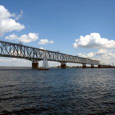
Saratov railway bridge
Russian Federation

Saratov railway bridge

102.2 km
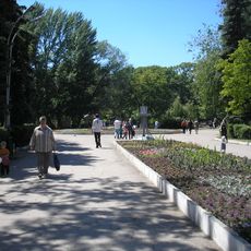
Saratov City Park
Russian Federation

Saratov City Park

112.8 km
Belogorsky Kamennobrodsky Monastery
Russian Federation

Belogorsky Kamennobrodsky Monastery

108.8 km
Пион тонколистный
Russian Federation

Пион тонколистный

43.3 km
Stolbichi
Russian Federation

Stolbichi

50 km
Щербаковская балка
Russian Federation

Щербаковская балка

44.8 km
Zemstvo of Kamyshin
Russian Federation

Zemstvo of Kamyshin

68.3 km
Камышинские горы Уши и Лоб
Russian Federation

Камышинские горы Уши и Лоб

60.5 km
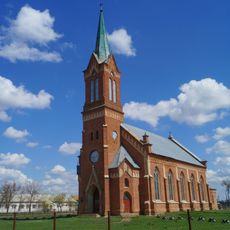
Lutheran church, Verkhny Eruslan
Russian Federation

Lutheran church, Verkhny Eruslan

99.8 km
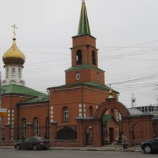
Kazan Church, Saratov
Russian Federation

Kazan Church, Saratov

111.1 km
Большой Каменный овраг
Russian Federation

Большой Каменный овраг

46.4 km
Суворовский
Russian Federation

Суворовский

34.3 km
Saint Michael church, Mikhaylovka
Russian Federation

Saint Michael church, Mikhaylovka

101.1 km
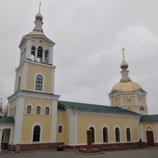
Նիկոլսկի մայր տաճար
Russian Federation

Նիկոլսկի մայր տաճար

68.3 km
Კამიშინის დიმიტრი თესალონიკელის ძეგლი
Russian Federation

Კამიშინის დიმიტრი თესალონიკელის ძეგლი

66.9 km
Красноиловлинский (разъезд)
Russian Federation

Красноиловлинский (разъезд)

94.8 km
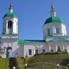
Church of Nativity, Nizhnay Dobrinka
Russian Federation

Church of Nativity, Nizhnay Dobrinka

34.4 km
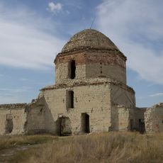
Church of Saint John the Baptist (Lysye Gory)
Russian Federation

Church of Saint John the Baptist (Lysye Gory)

101.3 km
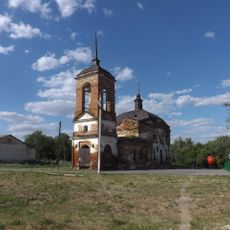
Церковь Дмитрия Солунского (Меловатка)
Russian Federation

Церковь Дмитрия Солунского (Меловатка)

38.7 km
Забурунний (селище)
Russian Federation

Забурунний (селище)

85.1 km
Храм Воскресения Христова (Иваново-Языковка)
Russian Federation

Храм Воскресения Христова (Иваново-Языковка)

110.6 km
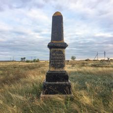
Grave of Leonid Ivanovich Chernushkin
Russian Federation

Grave of Leonid Ivanovich Chernushkin

111.8 km
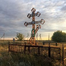
The grave of A.M. Zherebtsov
Russian Federation

The grave of A.M. Zherebtsov

111.9 km
Sinyaya Mountain
Russian Federation

Sinyaya Mountain

19 km
Prud Zherebtsov
Russian Federation

Prud Zherebtsov

100.6 km
Altuhov's House (Oktyabrskaya, 40)
Russian Federation

Altuhov's House (Oktyabrskaya, 40)

67.5 km
Show the full map

Reviews

Visited this place? Tap the stars to rate it and share your experience / photos with the community! Try now! You can cancel it anytime.

Administrative divisions
« 捷捷列维亚特卡农村居民点 - human settlement in Zhirnovsky District, Volgograd Oblast, Russia » is provided by Around Us (aroundus.com). Images and texts are derived from Wikimedia project under a Creative Commons license. You are allowed to copy, distribute, and modify copies of this page, under the conditions set by the license, as long as this note is clearly visible.

Discover hidden gems everywhere you go!

From secret cafés to breathtaking viewpoints, skip the crowded tourist spots and find places that match your style. Our app makes it easy with voice search, smart filtering, route optimization, and insider tips from travelers worldwide. Download now for the complete mobile experience.

Around Us App Screenshot

A unique approach to discovering new places

Le Figaro

All the places worth exploring

France Info

A tailor-made excursion in just a few clicks

20 Minutes