
Раздольненское сельское поселение
Раздольненское сельское поселение, human settlement in Yelizovsky District, Kamchatka Krai, Russia
Location: Yelizovsky District
Capital city: Razdolnyj (Kraj Kamczacki)
GPS coordinates: 53.27083,158.28861
Latest update: March 3, 2025 06:30
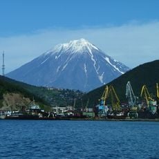
Koryaksky
28.7 km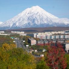
Avachinsky
36.5 km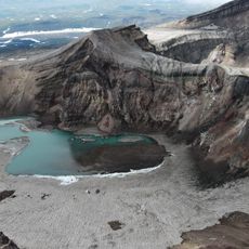
Gorely
81 km
Tri Brata
49.8 km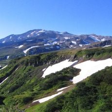
Mutnovsky
91.8 km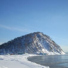
Nikolskaya Sopka
36.5 km
Nalychevo Nature Park
44.9 km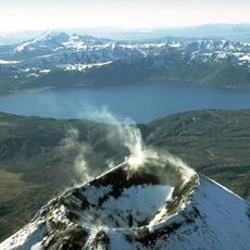
Akademia Nauk
110.9 km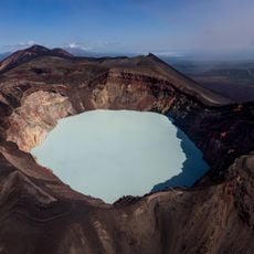
Maly Semyachik
130.4 km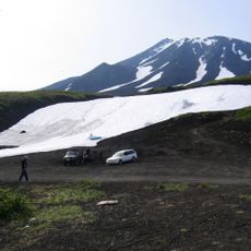
Kozelsky Volcano
40.3 km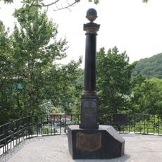
Monument to Vitus Bering in Petropavlovsk-Kamchatsky
37 km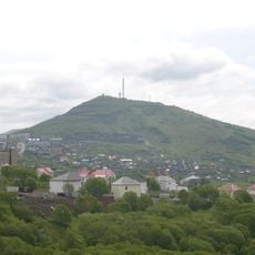
Mishennaya Sopka
34.4 km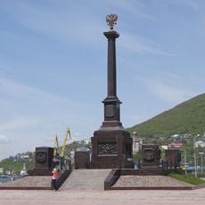
Category:Monument to City of Military Glory (Petropavlovsk-Kamchatsky)
36.2 km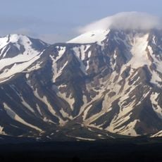
Aag
28.1 km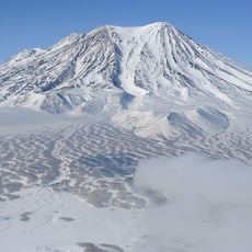
Zhupanovsky
67.1 km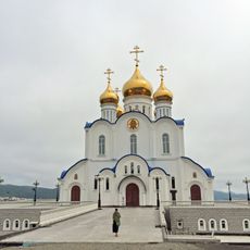
Holy Trinity Cathedral
34.6 km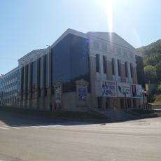
Drama and Comedy Theatre of Petropavlovsk-Kamtchatsky
36.5 km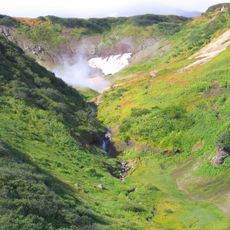
Dachnye Hot Springs
91.3 km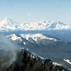
Dzenzursky
58.8 km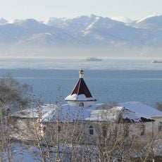
Panteleimon monastery (Petropavlovsk-Kamchatsky)
35.3 km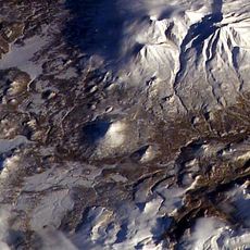
Asacha
106.5 km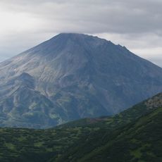
Bakening
72 km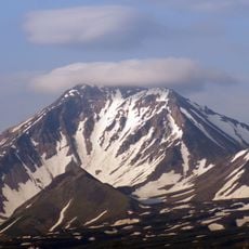
Arik volcano
27.3 km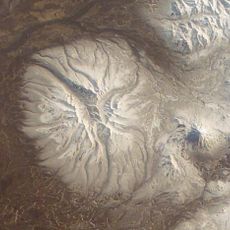
Bolshaya Ipelka
111.2 km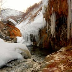
Timonovskiye Hot Springs
60.2 km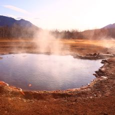
Nalychevo Hot Springs
41.2 km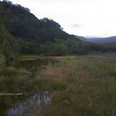
Vilyuchinskiye springs
62.9 km
Karymchinsky hot springs
62.4 kmReviews
Visited this place? Tap the stars to rate it and share your experience / photos with the community! Try now! You can cancel it anytime.
Discover hidden gems everywhere you go!
From secret cafés to breathtaking viewpoints, skip the crowded tourist spots and find places that match your style. Our app makes it easy with voice search, smart filtering, route optimization, and insider tips from travelers worldwide. Download now for the complete mobile experience.

A unique approach to discovering new places❞
— Le Figaro
All the places worth exploring❞
— France Info
A tailor-made excursion in just a few clicks❞
— 20 Minutes