
Primorsky, human settlement in Kalachyovsky District, Volgograd Oblast, Russia

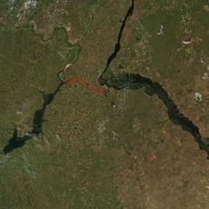
Volga–Don Canal
44.6 km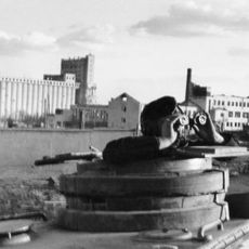
Volgograd Grain Elevator
70.4 km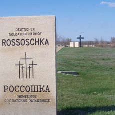
Deutscher Soldatenfriedhof Rossoschka
53.9 km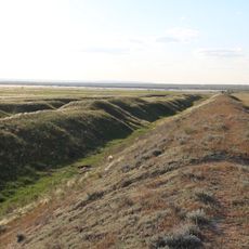
Tsaritsin guard line
68.8 km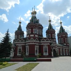
Kazan Cathedral in Volgograd
70.7 km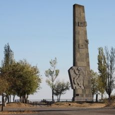
Lysaya Gora
63 km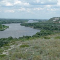
Natural Park Donskoy
64.8 km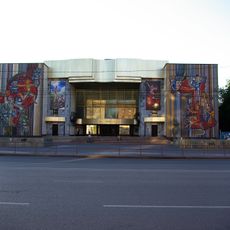
Volgograd Youth Theater
70.8 km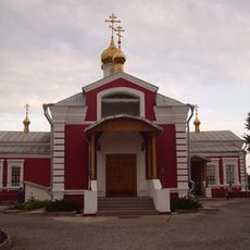
Church of St. Paraskeva Pyatnitsa in Volgograd
65.5 km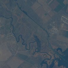
Karpovskoye Vodokhranilishche
13.9 km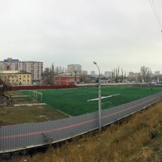
Stadium Pishchevik
70.8 km
Zelonoye koltso
68.1 km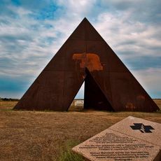
Spine
58.1 km
Konny
66.9 km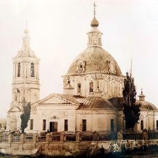
Trinity Church
69.8 km
Инга (разъезд)
58.4 km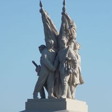
Connection of fronts monument
9 km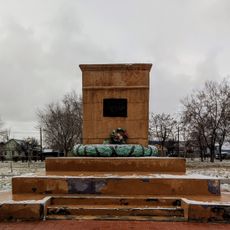
Radomsky square
69.3 km
"Акватория"
63.6 km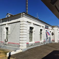
Железнодорожный вокзал станции Канальная (бывшая Тундутово)
64.1 km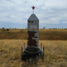
The grave of Nikolai Cheprakov
56.5 km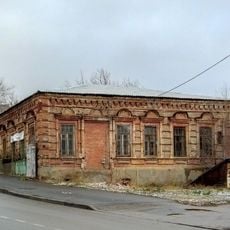
Residential house
70.6 km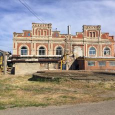
Maximov brothers plant - heating plant
69 km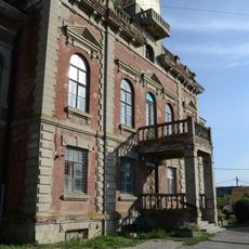
Maximov brothers plant - plant management
68.9 km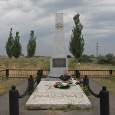
Mass grave on Lysaya Gora
63.7 km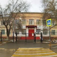
Elshanskaya Street, 130, Volgograd
69.2 km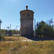
Водонапорная башня станции Канальная (бывшая Тундутово)
64.1 km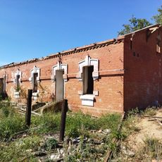
Residential buildings
64 kmReviews
Visited this place? Tap the stars to rate it and share your experience / photos with the community! Try now! You can cancel it anytime.
Discover hidden gems everywhere you go!
From secret cafés to breathtaking viewpoints, skip the crowded tourist spots and find places that match your style. Our app makes it easy with voice search, smart filtering, route optimization, and insider tips from travelers worldwide. Download now for the complete mobile experience.

A unique approach to discovering new places❞
— Le Figaro
All the places worth exploring❞
— France Info
A tailor-made excursion in just a few clicks❞
— 20 Minutes