Chest opened
+${chestReward.xp} XP
Explorer
NOUVEAU ×${chestReward.collectible.quantity}
tapez pour fermer

See the monuments around you in AR Open chests in the app

Around Us is built for your phone — point your camera at the streets and discover the monuments and places around you in augmented reality. Around Us is built for your phone — chests unlock when you walk, explore and capture nearby places.

•

Enable Location

We need your location to show you interesting places around you

Discover nearby places

Find interesting locations and hidden gems around you

Precise directions

Get accurate directions and distances to places

Your location is never shared with other users. It's only used when you tap the location button.

Tsaritsin guard line

Log in to your account

Start exploring — it's free

Trusted by 93,532 travelers worldwide

Continue with Google
Continue with Apple
or

We will send you a code to connect

By continuing, you accept our Terms and Conditions and our Privacy Policy

Check your inbox

We've sent a pincode in your inbox. Please enter the code below.

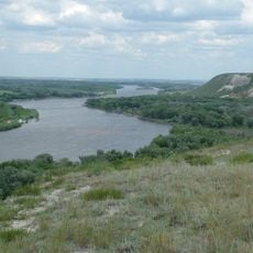
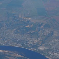
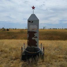
Tsaritsin guard line, Military fortification ridge in Volgograd Oblast, Russia.

The Tsaritsin guard line is a 54-kilometre earthwork running across the steppe between the Don and Volga, from the Panшин area to Tsaritsyn. It consisted of a dry ditch up to 8 m wide and a rampart 2.6 to 4.6 m high, with a firing banquette, plus five fortresses and 23 earth redans.

The Senate decree of 31 December 1717 chose Tsaritsyn over Dmitrievsk as the line's eastern end and named it the Tsaritsyn line; work began in spring 1718 under Brigadier Kropotov. Some 15,000 soldiers and civilian labourers built the earthwork and the Don fortress by autumn 1719, and the remaining forts were finished in the summer of 1720. The line was used from 1720 until 1776.

This structure represented the Russian Empire's military engineering thinking of its time, showing how the state organized border defense. Walking along the remains today, you can sense how it divided the landscape between protected and unprotected territories.

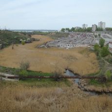
The site is accessible along designated paths that run through both districts. Information markers are placed at several locations to help you navigate and understand what you are seeing.

The rampart's surface was covered with turf cut elsewhere and laid on the earthworks so grass would take root and stop the wind from eroding the bank. The ravine crossings were blocked with palisades of sharpened logs and oak cages filled with earth.

The community of curious travelers

AroundUs brings together thousands of curated places, local tips, and hidden gems, enriched daily by 93,532 contributors worldwide.

Start exploring
Location
Inception
1717
Elevation above the sea
83 m
Made from material
soil, wood
GPS coordinates
49.04705,44.13393
Latest update
October 29, 2026 04:55
Around this place
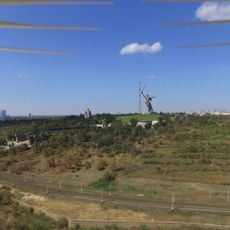
The Motherland Calls
Russian Federation

The Motherland Calls

27.9 mi
Mamayev Kurgan
Russian Federation

Mamayev Kurgan

27.9 mi
Lyudnikov's Island
Russian Federation

Lyudnikov's Island

28 mi
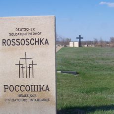
Rossoschka German military cemetery
Russian Federation

Rossoschka German military cemetery

15.4 mi
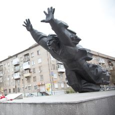
Monument to Mikhail Panikakha in Volgograd
Russian Federation

Monument to Mikhail Panikakha in Volgograd

27.2 mi
Natural Park Donskoy
Russian Federation

Natural Park Donskoy

10.1 mi
Soldatskoye Pole
Russian Federation

Soldatskoye Pole

21.5 mi
Sukhaya Mechetka
Russian Federation

Sukhaya Mechetka

27.1 mi
Chelyabinsk kolkhoznik tank monument
Russian Federation

Chelyabinsk kolkhoznik tank monument

26.9 mi
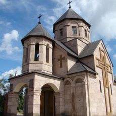
Surb Gevorg Church in Volgograd
Russian Federation

Surb Gevorg Church in Volgograd

27.2 mi
Russian Federation

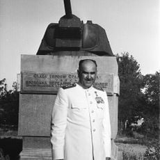
Monument to Dzerzhinsky in Volgograd

27.3 mi
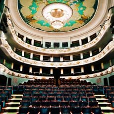
Tsaritsyn Opera
Russian Federation

Tsaritsyn Opera

27.4 mi
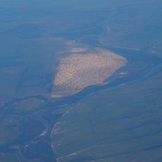
Golubinskiye Peski
Russian Federation

Golubinskiye Peski

22.8 mi
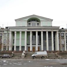
Lenin Palace of Culture
Russian Federation

Lenin Palace of Culture

27.4 mi
Zenit Stadium
Russian Federation

Zenit Stadium

27.1 mi
Volgograd Museum of History and Technology Measures and Weights
Russian Federation

Volgograd Museum of History and Technology Measures and Weights

26 mi
Zelonoye koltso
Russian Federation

Zelonoye koltso

20.9 mi
Monument to the heroes of defense of Red Tsaritsyn
Russian Federation

Monument to the heroes of defense of Red Tsaritsyn

27.5 mi
Trinity Church
Russian Federation

Trinity Church

6.2 mi
Church of Dmitry Donskoy in Ilovlya
Russian Federation

Church of Dmitry Donskoy in Ilovlya

18.9 mi
Olympia Stadium, Volgograd
Russian Federation

Olympia Stadium, Volgograd

24.9 mi
Monolit Stadium
Russian Federation

Monolit Stadium

28 mi
Stalingrad Circus
Russian Federation

Stalingrad Circus

27.1 mi
Museum of Cossack life, Ilovlya
Russian Federation

Museum of Cossack life, Ilovlya

20.7 mi
The grave of Nikolai Cheprakov
Russian Federation

The grave of Nikolai Cheprakov

10.2 mi
Gagarin Palace of Culture
Russian Federation

Gagarin Palace of Culture

27.2 mi
Palace of Culture of Volgograd Aluminum Plant
Russian Federation

Palace of Culture of Volgograd Aluminum Plant

26.9 mi
Budenny street, 71, Ilovlya
Russian Federation

Budenny street, 71, Ilovlya

19.1 mi
Show the full map
Reviews
Share your experience

No review yet

Discussions
Start a discussion...

No discussion yet

« Tsaritsin guard line - Military fortification ridge in Volgograd Oblast, Russia » is provided by Around Us (aroundus.com). Images and texts are derived from Wikimedia project under a Creative Commons license. You are allowed to copy, distribute, and modify copies of this page, under the conditions set by the license, as long as this note is clearly visible.

Discover hidden gems everywhere you go!

From secret cafés to breathtaking viewpoints, skip the crowded tourist spots and find places that match your style. Our app makes it easy with voice search, smart filtering, route optimization, and insider tips from travelers worldwide. Download now for the complete mobile experience.
Around Us App Screenshot
❝

A unique approach to discovering new places❞

— Le Figaro

❝

All the places worth exploring❞

— France Info

❝

A tailor-made excursion in just a few clicks❞

— 20 Minutes

Around Us
Travel Guide & Maps
Download

Send to your phone

QR Code
1

Open the camera app on your mobile.

2

Point at the QR code with your camera. A notification will appear.

3

Tap the notification to open the link.