
Теньковское сельское поселение
Теньковское сельское поселение, human settlement in Kamsko-Ustyinsky District, Republic of Tatarstan, Russia
Location: Kamsko-Ustyinsky District
Capital city: Tämte
GPS coordinates: 55.43454,48.98542
Latest update: May 25, 2025 11:16
Volzhsko-Kamsky Nature Reserve
30.4 km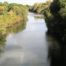
Sviyaga
40.4 km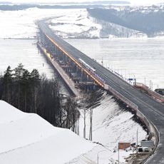
Мост через Волгу (М12)
15.3 km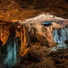
Yurievskaya Cave
27.4 km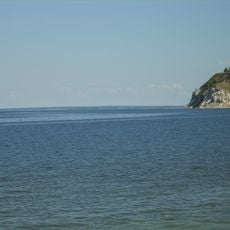
Lobach Hill
34 km
Ascension Monastery, Kazan
36.3 km
White Mosque, Kazan
37.6 km
Arkhiyereyskoye Lake
16.2 km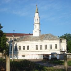
İske Taş Mosque
38 km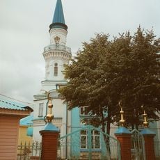
Pink Mosque
37.7 km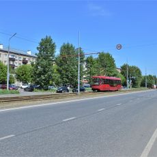
Улица Владимира Кулагина (Казань)
35.4 km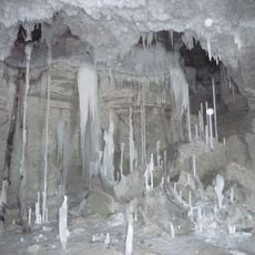
Gipsy-1
27.3 km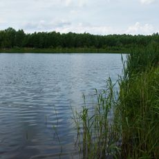
Stolbische
27.8 km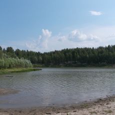
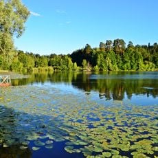
Chistoe Lake
19.6 km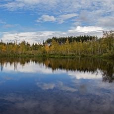
Mokhovoye Lake
21.8 km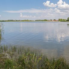
Kovalinskoye Lake
24.2 km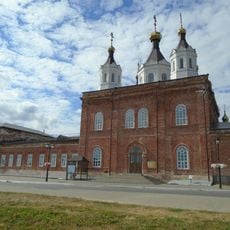
Собор Николая Чудотворца (Лаишево)
35.4 km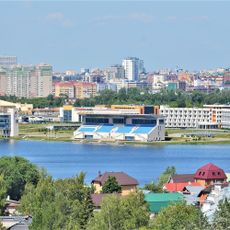
Rowing center in Kazan
37.3 km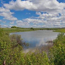
Zayachye Lake
26.6 km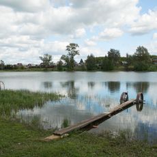
Sapugoli
20.3 km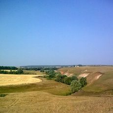
Birlya
35.1 km
Lesnoe
24.2 km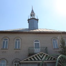
Utar Mosque
31.9 km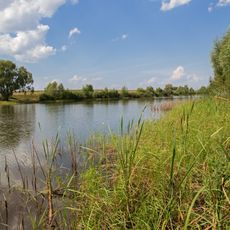
Salamykovskoye Lake
24.6 km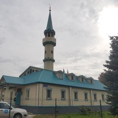
Ğädel Mosque
35.6 km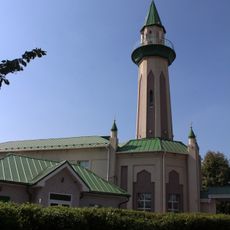
Tınıçlıq Mosque
31.3 km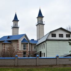
Rizvan Mosque
37.3 km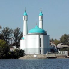
Şamil Mosque, Qazan
34.1 kmReviews
Visited this place? Tap the stars to rate it and share your experience / photos with the community! Try now! You can cancel it anytime.
Discover hidden gems everywhere you go!
From secret cafés to breathtaking viewpoints, skip the crowded tourist spots and find places that match your style. Our app makes it easy with voice search, smart filtering, route optimization, and insider tips from travelers worldwide. Download now for the complete mobile experience.

A unique approach to discovering new places❞
— Le Figaro
All the places worth exploring❞
— France Info
A tailor-made excursion in just a few clicks❞
— 20 Minutes