
139 км, human settlement in Yurginsky District, Kemerovo Oblast, Kemerovo Oblast, Russia
Location: Лебяжье-Асановское сельское поселение
Elevation above the sea: 139 m
GPS coordinates: 55.70861,84.62361
Latest update: April 13, 2025 05:08

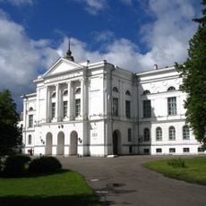
Tomsk State University
87.1 km
Tomskaya Pisanitsa Museum
62.7 km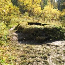
Talovskie Chashi
82.3 km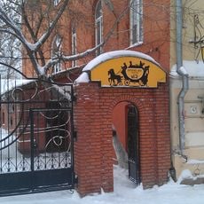
Sovetskaya Street 47, Tomsk
87.3 km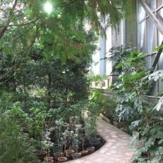
Siberian Botanic Garden
86.7 km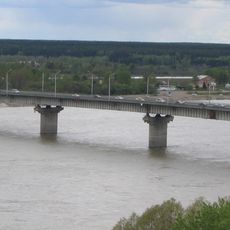
Kommunalny Bridge
85 km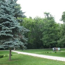
Universitetskaya Roshcha
87.2 km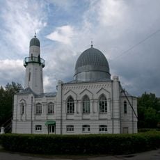
White Mosque, Tomsk
86.8 km
Tomsk State University Library
86.9 km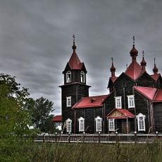
Saint Seraphim of Sarov Church, Turnaevo
9.5 km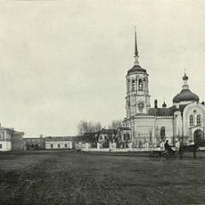
Convent of St. John the Baptist in Tomsk
86.3 km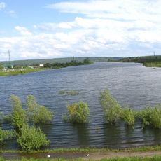
Sennaya Kurya
84 km
Timerzyaevsky Forest
87.2 km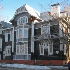
Prospekt Kirova 7, Tomsk
86.8 km
Wooden dwelling house
87.1 km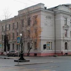
Savinykh Hospital
85.8 km
23 km
21.8 km
54 km
37.6 km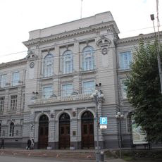
Main building of Tomsk Polytechnical University
86.7 km
115 km
86.8 km
Дедюево (разъезд)
82.5 km
31 km
28 km
14 км (селище)
13.4 km
Юрьевка
71.2 km
79 km
61.8 km
96 km
74.7 km
64 km
47.2 km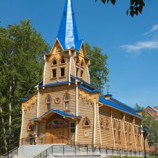
Lutheran church in Tomsk
87.3 kmReviews
Visited this place? Tap the stars to rate it and share your experience / photos with the community! Try now! You can cancel it anytime.
Discover hidden gems everywhere you go!
From secret cafés to breathtaking viewpoints, skip the crowded tourist spots and find places that match your style. Our app makes it easy with voice search, smart filtering, route optimization, and insider tips from travelers worldwide. Download now for the complete mobile experience.

A unique approach to discovering new places❞
— Le Figaro
All the places worth exploring❞
— France Info
A tailor-made excursion in just a few clicks❞
— 20 Minutes