
Säters Gård, Bauwerk in Schweden
Location: Surahammar Municipality
GPS coordinates: 59.75872,16.18635
Latest update: July 29, 2025 06:57
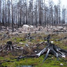
Naturreservatet Hälleskogsbrännan
14.4 km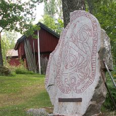
Odendisa Runestone
15.4 km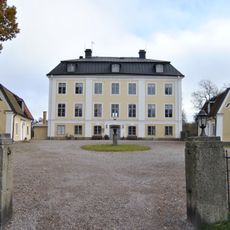
Schenström's Manor
2.4 km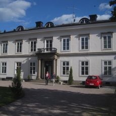
Tersmeden's Manor
2.5 km
Rudtjärnsgrottorna
15.7 km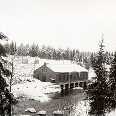
Trångfors kraftstation
14.8 km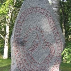
Västmanlands runinskrifter 18
13.7 km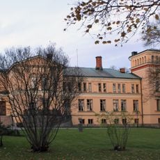
Surahammar Manor
5.5 km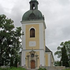
Skultuna Church
15.1 km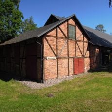
Surahammars bruksmuseum
5.7 km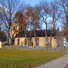
Harakers kyrka
15.4 km
Fermansbo urskog
7.5 km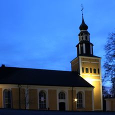
Ramnäs Church
1.3 km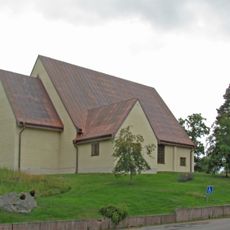
Sankt Lars kyrka, Hallstahammar
15.9 km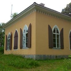
Minnesbyggnaden på Braheholmen
14 km
Lillhärads kyrka
15.9 km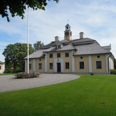
Svanå Manor
11.1 km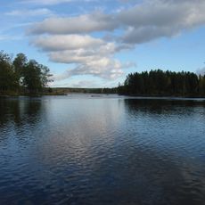
Virsbosjön
13.4 km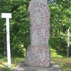
Vs 19
13.7 km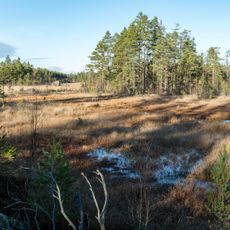
Stora Flyten
13.9 km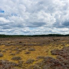
Ulvsbomuren
8.4 km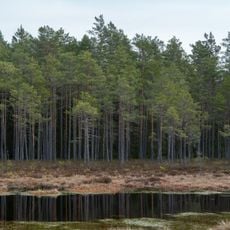
Vinnsjömossen
15.5 km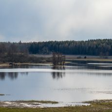
Gnien
1.1 km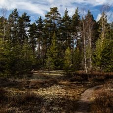
Rövallsmossen och Stingsmossen
4.2 km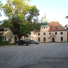
Wirsbo Manor
14.2 km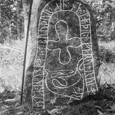
Vs 22
11 km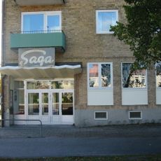
Saga
16.1 km
Fläckebo f.d. komministergård, sockenmagasin och kyrkstallar
15.7 kmReviews
Visited this place? Tap the stars to rate it and share your experience / photos with the community! Try now! You can cancel it anytime.
Discover hidden gems everywhere you go!
From secret cafés to breathtaking viewpoints, skip the crowded tourist spots and find places that match your style. Our app makes it easy with voice search, smart filtering, route optimization, and insider tips from travelers worldwide. Download now for the complete mobile experience.

A unique approach to discovering new places❞
— Le Figaro
All the places worth exploring❞
— France Info
A tailor-made excursion in just a few clicks❞
— 20 Minutes