Stångehuvud nature reserve, Nature reserve near Lysekil, Sweden
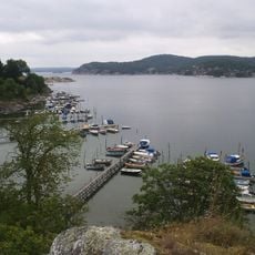
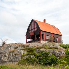
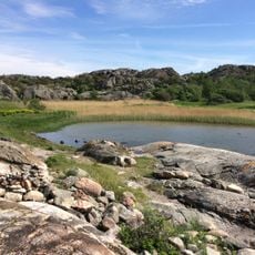
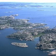
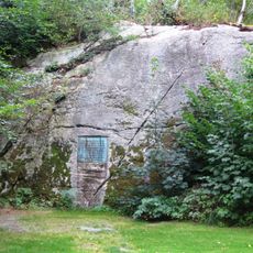
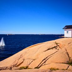
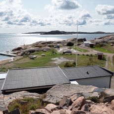
Stångehuvud is a nature reserve near Lysekil featuring red granite cliffs shaped by glacial forces during the last ice age. The rock walls display scratches and grooves left by ancient ice movements and contain diverse coastal vegetation.
The area served as an active granite quarry for roughly 50 years during the late 1800s before Calla Curman began purchasing land to halt the extraction. His acquisition led to the 1925 designation as a protected reserve under the care of the Royal Swedish Academy of Sciences.
The donation of this land by Calla Curman to the Royal Swedish Academy of Sciences in 1925 reflected a growing belief in protecting natural areas for future generations. Local people see it as an example of how individual conservation efforts shaped the Swedish coast.
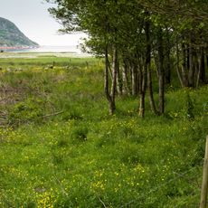
The Victoria Path on the Galleberget cliff offers an easy walkway through the rocky formations and past local plant life. The route is well-marked and gently sloped, making it accessible for a leisurely coastal stroll.
The reserve contains the southernmost occurrence of Bohus granite, a rock that crystallized around 920 million years ago deep beneath ancient mountain ranges. This geological rarity makes it one of the few places where visitors can touch stone older than most mineral deposits elsewhere in the region.
The community of curious travelers
AroundUs brings together thousands of curated places, local tips, and hidden gems, enriched daily by 60,000 contributors worldwide.