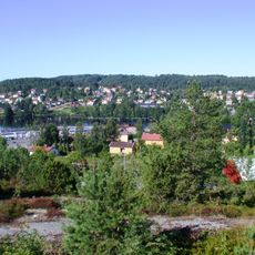
Getebuberget, nature reserve in Västra Götaland, Sweden
Location: Bengtsfors Municipality
Inception: March 16, 2009
GPS coordinates: 59.08774,12.35505
Latest update: September 9, 2025 21:28
Gemeinde Bengtsfors
9.9 km
Gemeinde Åmål
18.7 km
Baldersnäs
14.7 km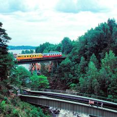
Mellerud–Arvika railway
9.5 km
Edsleskog old church
7.1 km
Åmål railway museum
20.4 km
Åmåls kyrka
20.2 km
Lövåsvallen
12.9 km
Skärbo
12.3 km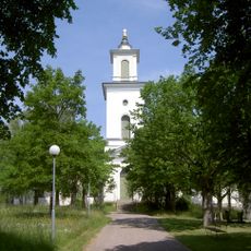
Tösse Church
19.7 km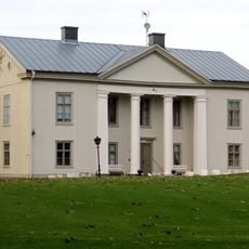
Forsbacka
15 km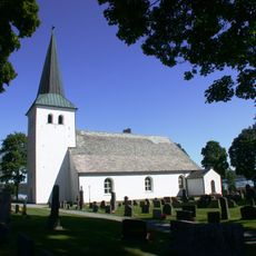
Torrskog Church
18.1 km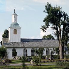
Mo Church
16.7 km
Stadshotellet, Åmål
20.5 km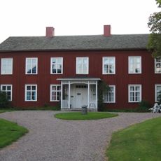
Edsleskogs prästgård
7 km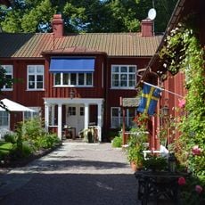
Waldenströmska gården
20.5 km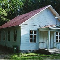
Gustavsfors kapell
18.2 km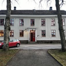
Hantverksföreningens hus i Åmål
20.5 km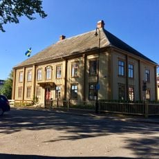
Vågmästaregården
20.5 km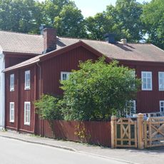
Lilliestiernska gården
20.5 km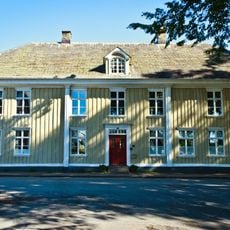
Dahlgrensgården
20.5 km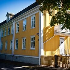
Engersgården
20.6 km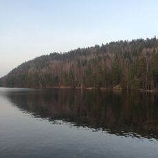
Hafsåsen
11 km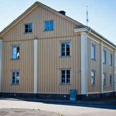
Brantenbergska huset
20.6 km
Baldersnäs
14.4 km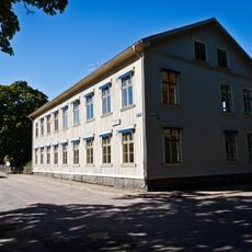
Kronan
20.6 km
Öjersbyns gammelskog
17.5 km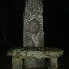
Sillerud 119:3
13.4 kmReviews
Visited this place? Tap the stars to rate it and share your experience / photos with the community! Try now! You can cancel it anytime.
Discover hidden gems everywhere you go!
From secret cafés to breathtaking viewpoints, skip the crowded tourist spots and find places that match your style. Our app makes it easy with voice search, smart filtering, route optimization, and insider tips from travelers worldwide. Download now for the complete mobile experience.

A unique approach to discovering new places❞
— Le Figaro
All the places worth exploring❞
— France Info
A tailor-made excursion in just a few clicks❞
— 20 Minutes